Grahsteg-Mandlberg-Runde
Tour description
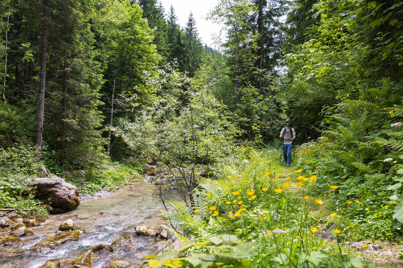
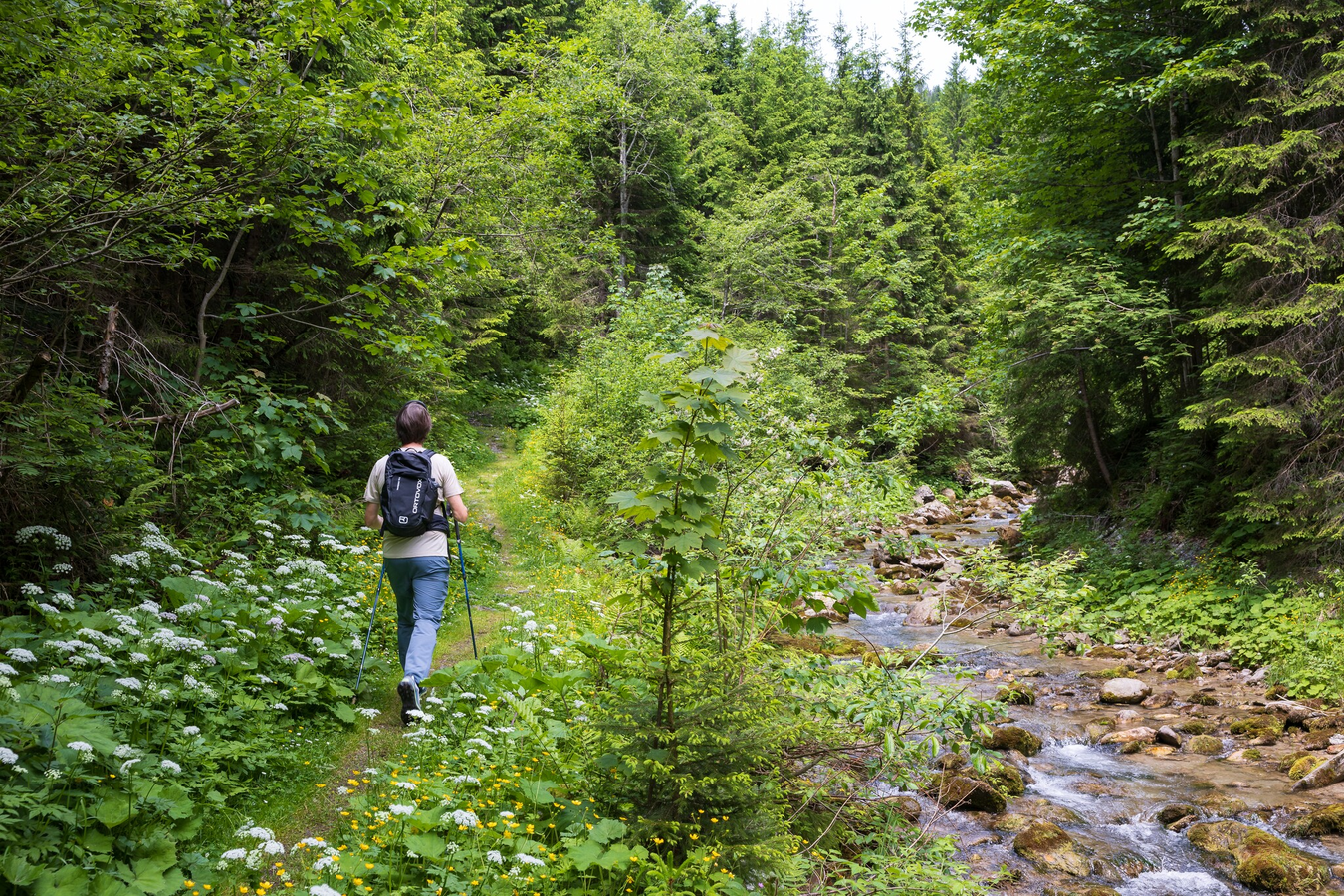
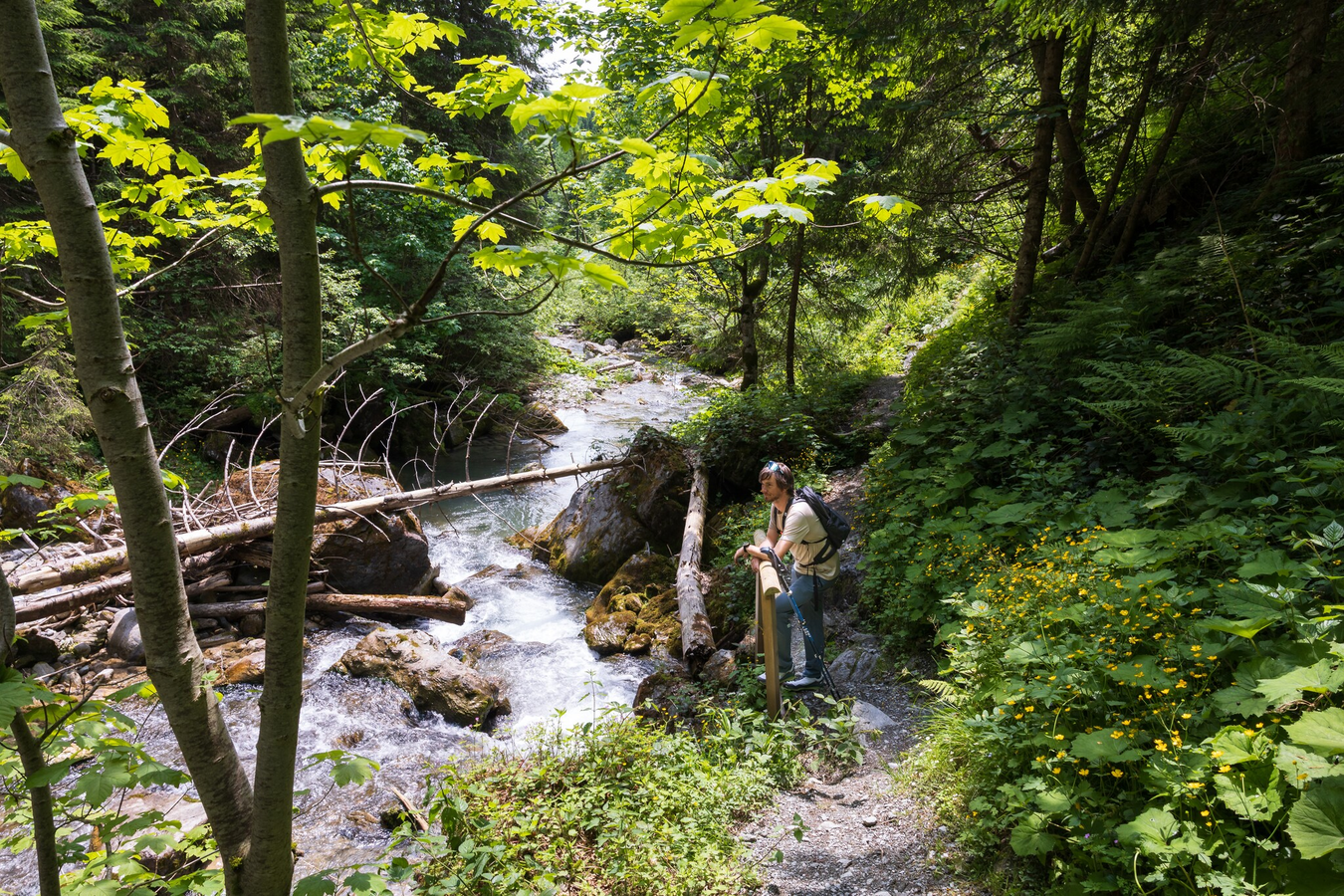
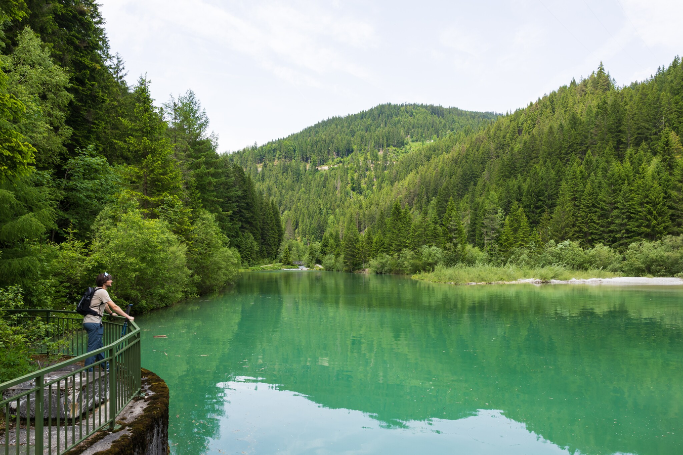
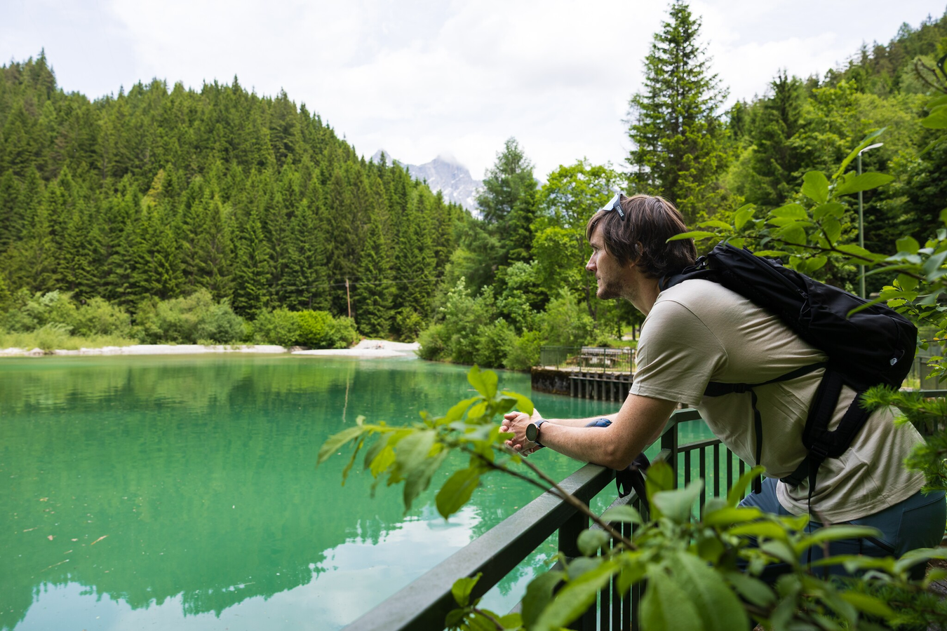
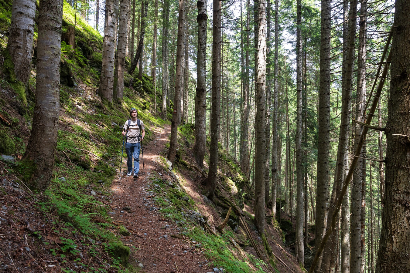
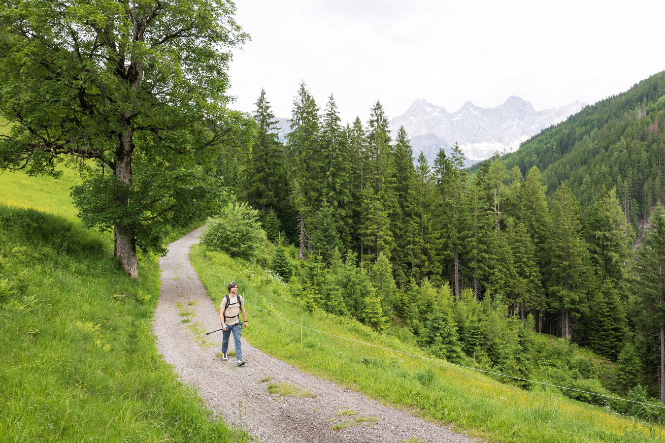
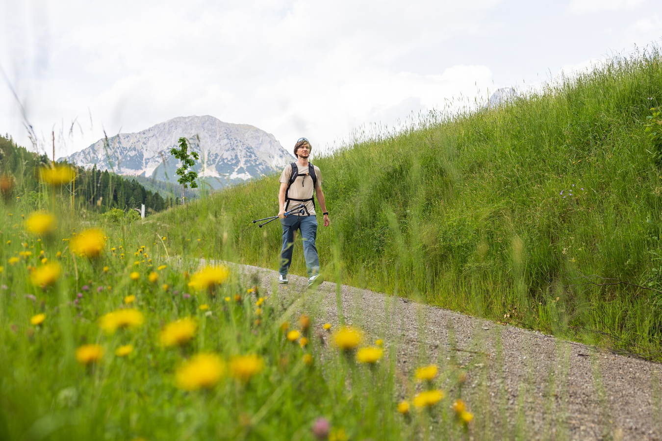
A beautiful and fairly easy hike starting in Mandling. Following the water, the route leads through the Mandlinggraben to the Mandlinger Stausee. Next, a lovely section through the forest awaits, leading to the small plateau with the Mandlberggut. The award-winning schnapps and whisky distillery located there is well worth a visit. Finally, a short downhill stretch leads back to Mandling, offering a beautiful view of the Mandlinger Moor.
The tour
Map, elevation profile & further information
From Hotel Taferne you walk past the loden manufacturer Steiner1888 and cross the bridge over the Mandling creek. After the bridge you make a right and follow the Mandling creek towards Filzmoos. The idyllic trail runs along the creek until you reach the "Grahsteg" water reservoir.
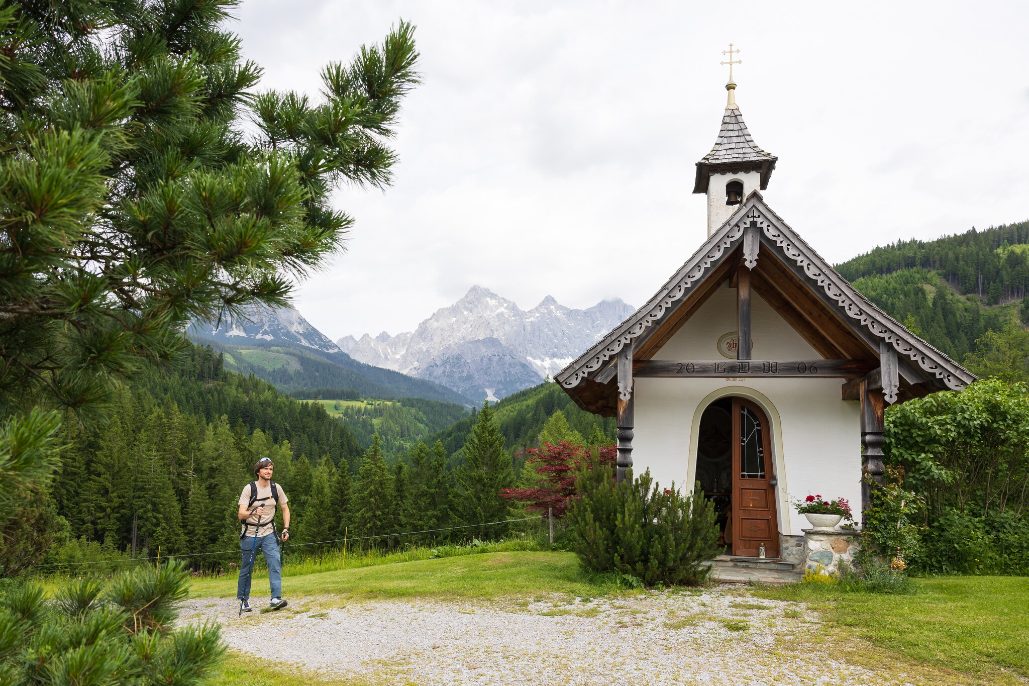
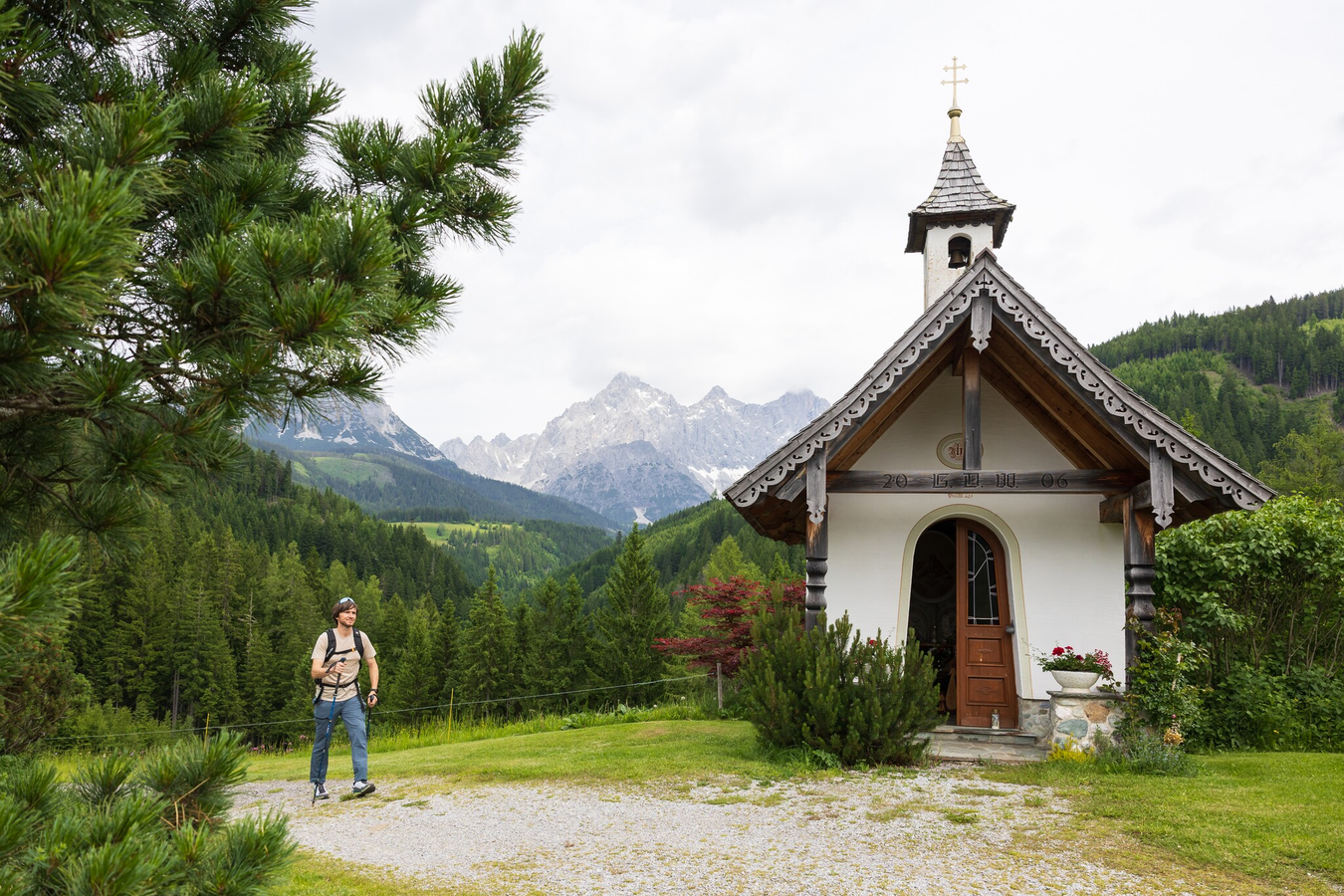
Via an ascending path through the forest you now follow the trail towards South until you reach the Mandlberggut. From there you descend back to the village of Mandling, which you reach at the chapel and Gasthof Geringer. From there it is just a few steps back to the starting point.
At Hotel Taferne there is a parking lot.
Changes in weather patterns, quick falls in temperature, thunderstorms, wind, fog and snow are some of the dangers that can be encountered on a hiking tour. Hosts of alpine huts and mountain refuges have a lot of experience in the mountains and can give good advice about weather and the trails. Poor equipment, overestimation of one's own capabilities, carelessness, poor personal constitution and/or wrong judgement can lead to critical situations. In case of thunderstorms: avoid summits, ridges and steel ropes.
Available GPS data - just like hiking maps - is only a guidance for orientation and can never depict a trail exactly with all its details. Especially at dangerous spots it is essential to judge on site how to proceed.
In an emergency please call:
- 140 - for Alpine emergencies (all over Austria)
- 112 - European GSM emergency number
Info about buses to Gleiming: www.postbus.at
- Hiking map Schladming, 1:25.000 - available at the tourist office Schladming
- Hiking map Schladming-Dachstein, 1:50.000 - available at the tourist office Schladming