Haus-Aich
Gumpental - Moaralmsee
Hiking trail
Data:
Tour description
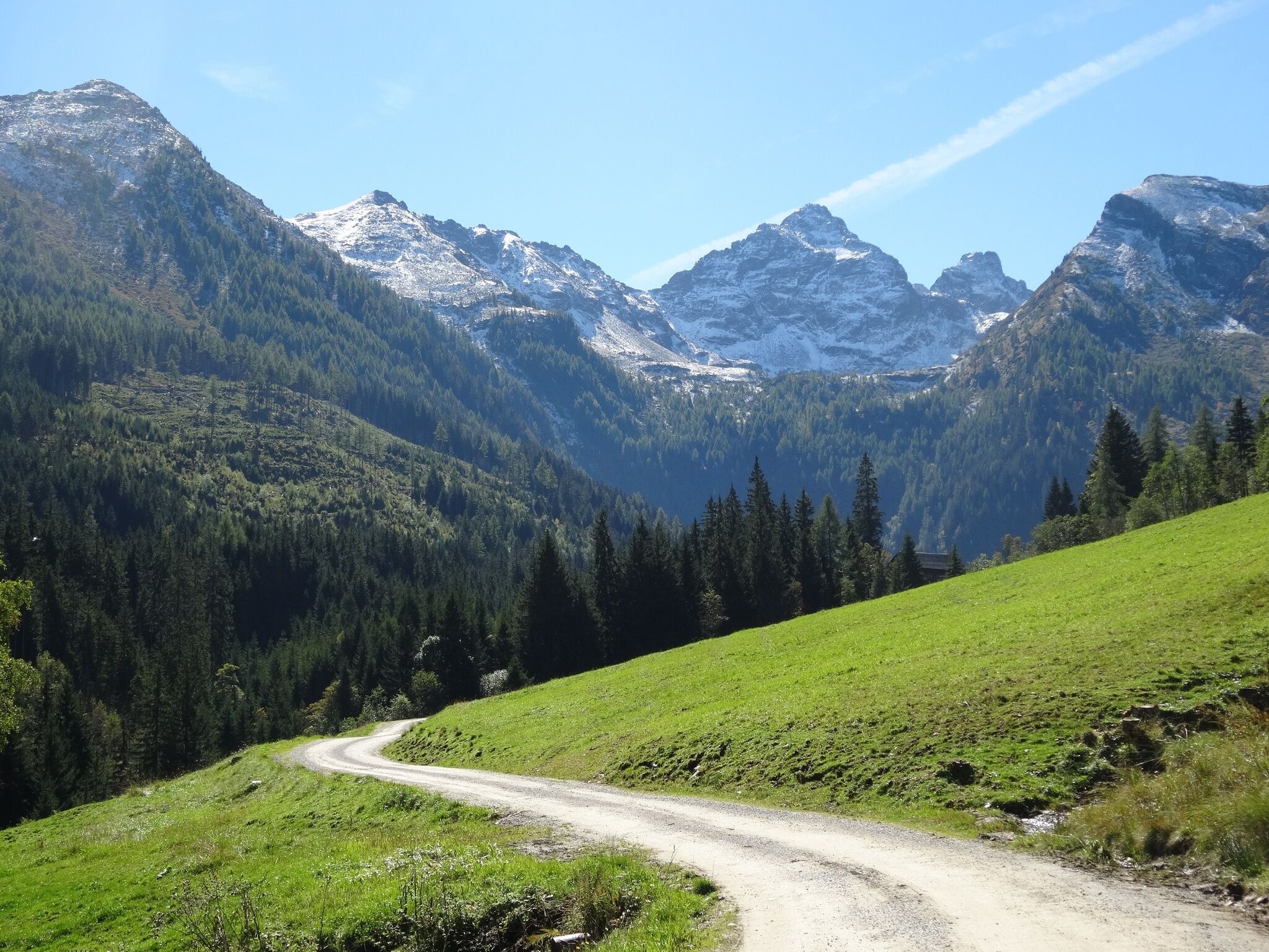
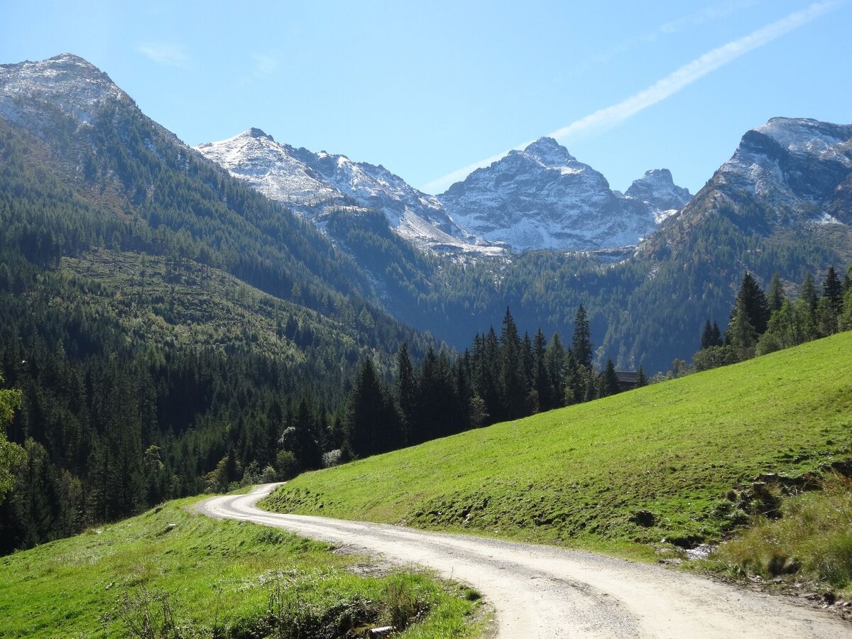
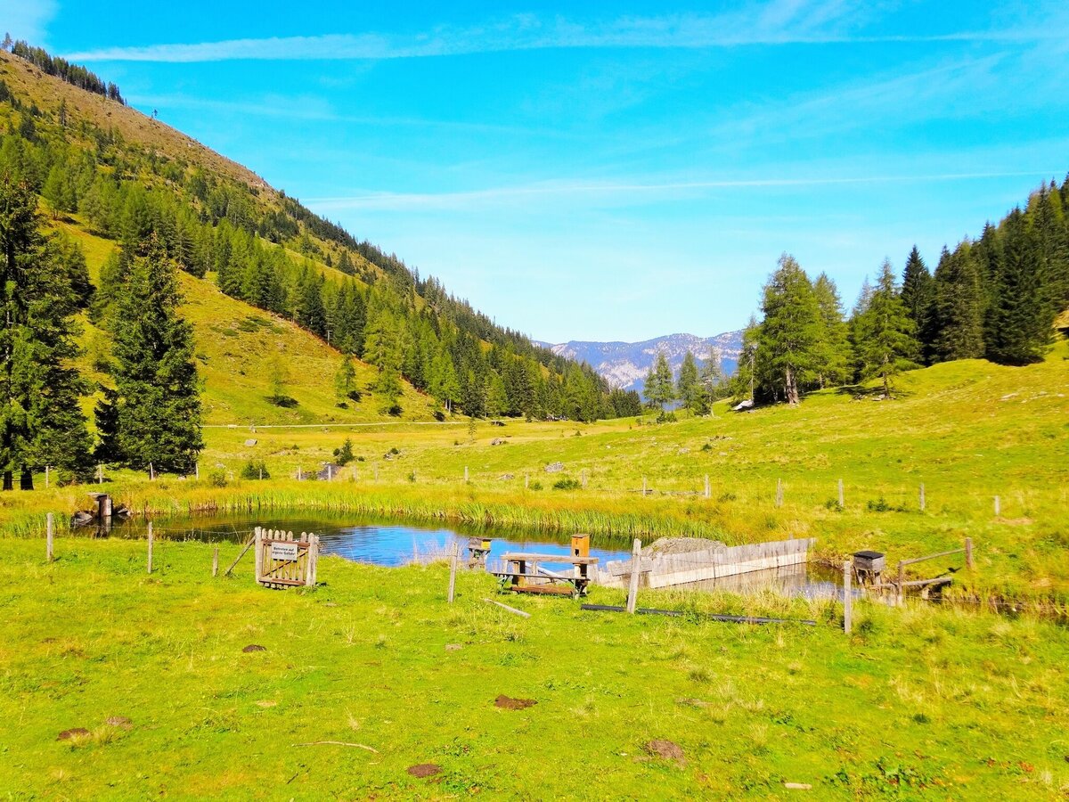
The romantic Gumpental valley with its natural alpine culture attracts walkers (up to the Stangl Alm), hikers (up to the Moaralmsee) and mountaineers (up to the Höchstein). Before stopping at the hut and enjoying a good snack, it is definitely worthwhile to take a trip to the beautifully situated Moaralmsee. The turquoise-blue lake is easily accessible and lies picturesquely at the foot of the steeply rising Höchstein.
The tour
moderate
publicly accessible
Starting and end point
Gumpental
Tour characteristics
Distance: 8.4 km
Fitness (3/6)
Skills (3/6)
Information
Distance: 8.4 km
Duration:
3:45 h
Ascent: 540 m
Descent: 540 m
highest point: 1828 m
Best season
Jan
Feb
Mar
Apr
May
Jun
Jul
Aug
Sep
Oct
Nov
Dec
Map, elevation profile & further information
The best way to start is from one of the parking places at the Almstraße into the Gumpental. Walk along the Güterweg past the Maierl and Schmiedalm to the Stangl Alm at the end of the valley. To the Moaralmsee it goes now steeper becoming in several bends up the mountain slope. After about 1 hour coming from the Stangl Alm, the Güterweg leads into the Almsteig no. 781, flanked by bushes. The narrow path leads uphill over small steps. We cross a small stream and reach the shore of the turquoise-blue Moaralmsee (1,825 m). Larger stone blocks and meadows invite you to sit down and rest. Children can undertake an adventurous voyage of discovery around the lake. The way back is along the ascent route.
Via Ennstalbundesstraße (B320) to Ruperting - drive up the Gumpenberg until shortly before the Natur- und Wellnesshotel Höflehner****Superior - continue into the Gumpental.Via Ennstalbundesstraße (B320) to Ruperting - drive up the Gumpenberg until shortly before the Natur- und Wellnesshotel Höflehner****Superior - continue into the Gumpental.
- at one of the parking lots along the Almstraße into the Gumpental
- parking area Stangl Alm
The Gumpental is not accessible by public transport.
However, there is an option for a hiking taxi: Taxi Heli Haus im Ennstal
However, there is an option for a hiking taxi: Taxi Heli Haus im Ennstal
Sturdy shoes, rain gear and hiking poles if necessary
Visit the Stangl Alm in the Gumpental and enjoy the homemade specialities.
Schladming-Dachstein hiking map Schladming-Dachstein hiking guide by Herbert RaffaltHere you will find all hiking maps and important brochures to download.