")

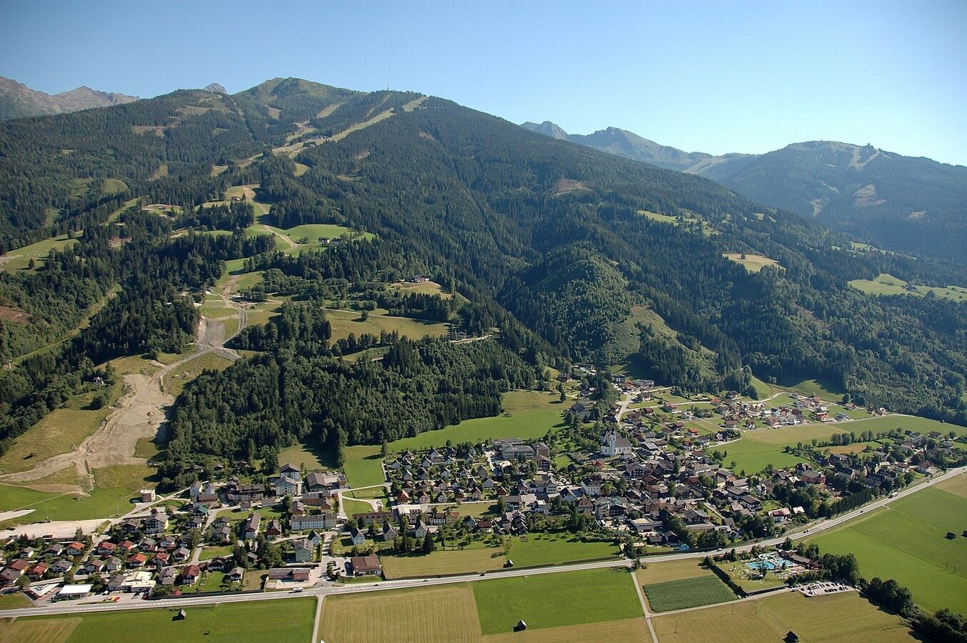
Haus-Aich
Markt Haus - Hauser Kaibling - Gumpenberg - Markt Haus
Hiking trail
Data:
Tour description
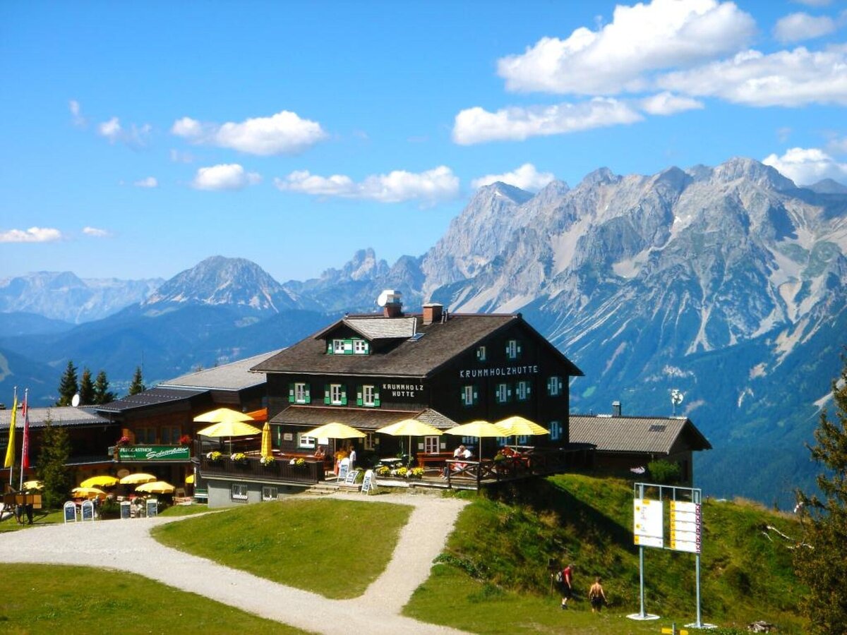
If you want to experience the ski slopes of Hauser Kaibling in summer, this is the right hike for you. The ascent is made - as in winter - by cable car/chair lift. Downhill is by foot, with pleasure also with 2 (hiking) sticks. The hiking trails lead up to the Scharlinger again and again over the winter ski slopes, and you can also pass some of the lift poles.Note: Please stay on the signposted paths. Do not climb over pasture or sheep fences or even trample them down. Gates that have to be opened, please also close them reliably. You will cross several meadows that are mowed or where cattle are grazing. Therefore please do not walk through the high grass, but stay at the edge of the areas. Thanks a lot!
The tour
moderate
publicly accessible
Starting and end point
Valley station Schladminger Tauern cable car
Tour characteristics
Distance: 8.29 km
Fitness (4/6)
Skills (3/6)
Information
Distance: 8.3 km
Duration:
2:50 h
Ascent: 82 m
Descent: 1093 m
highest point: 1840 m
Best season
Jan
Feb
Mar
Apr
May
Jun
Jul
Aug
Sep
Oct
Nov
Dec
Map, elevation profile & further information
Market Haus/Ennstal - with the Schladminger Tauern cable car or Hauser Kaibling cable car & 8-seater chairlift Kaiblinggrat up the hill - from the top station follow the way No. 43 to the Gumpenberg - direction Hotel Höflehner/Knapplhof. Just before Hotel Höflehner walk in western direction to Scharlinger - way No. 100. Steeply down to Dirtlerhof and back to Haus im Ennstal.
Ennstalbundesstraße (B320) - Haus im Ennstal:
- Valley station Schladminger Tauern cable car (above the catholic church in Haus im Ennstal)
- Valley station Hauser Kaibling cable car (directly next to the main road)
Postbus (L900) - Exit: Haus Ort
Between end of May and mid October: Planaibus (Line: Schladming - Haus - Steirischer Bodensee).
- Sturdy shoes
- Rain protection
- Here are all the hiking maps and important brochures to download.
Since the path leads mainly downhill, hiking poles are highly recommended so that the knees are relieved a little and you can enjoy the wonderful view into the beautiful Ennstal while walking.
Tour at your own risk! No liability is accepted for any alpine dangers (weather, etc.) that may occur. Weather changes, rapid drops in temperature, thunderstorms, wind, fog and snow fields are objective dangers and require the correct behaviour on the way. In an emergency, please dial the following emergency numbers:
No. 140 - for alpine emergencies - Austria-wide
No. 112 - Euro emergency call GSM emergency call service


