Panoramaseeweg
Tour description
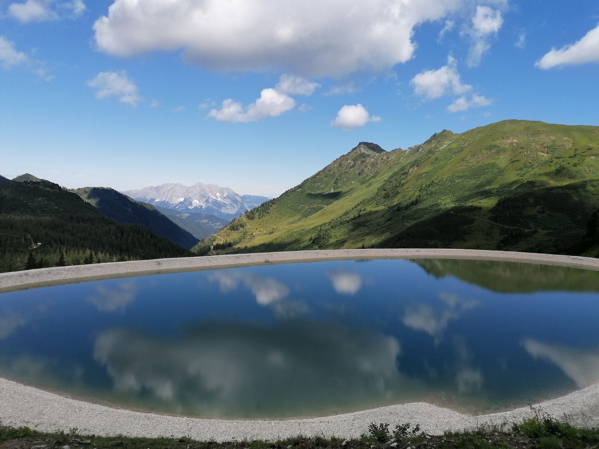
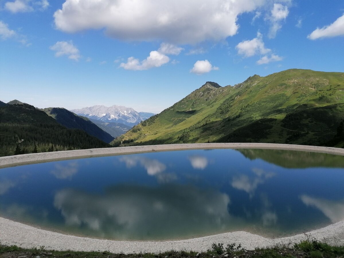
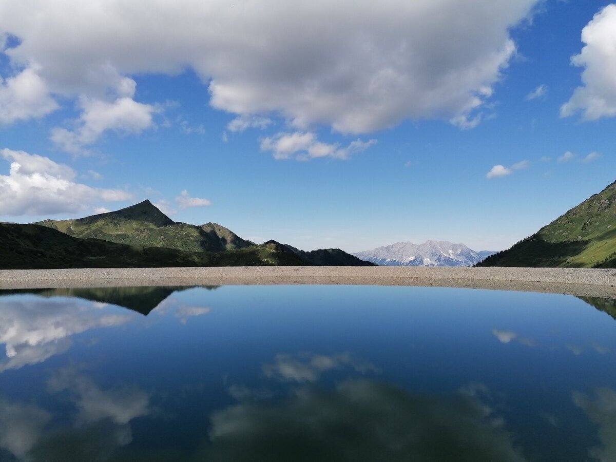
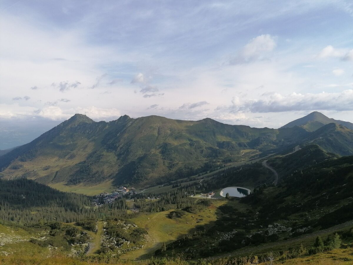
The easy gravel path leads you up to the Panoramasee. While swimming is not permitted here, the view of the surrounding Plannerberge is magnificent. The trail is also suitable for off-road strollers.
The tour
Map, elevation profile & further information
From the mountain rescue house, hike the short distance to the valley station of the "Kleiner Rotbühellift". Now turn left, following the signs on trail 2, past the Ewis-Hütte and follow the gravel path uphill at a moderate incline to the Panoramasee. Return along the same path.
From the Ennstal main road (B320) at the Trautenfels roundabout, turn off towards Irdning, Donnersbach, Donnersbachwald. In the village of Donnersbach, turn left after the village center towards Planneralm. 12 km ascent via the toll-free mountain road up to the Planneralm.
From the Ennstal main road (B320) at the Trautenfels roundabout, turn off towards Irdning, Donnersbach, Donnersbachwald. In the village of Donnersbach, turn left after the village center towards Planneralm. 12 km ascent via the toll-free mountain road up to the Planneralm.
Free parking at the large car park or the Bergrettungshaus car park on the Planneralm.
- Plan your tour in advance and take walking time, distance, elevation gain, danger spots and the weather forecast into account.
- Let others know where you are going and by what time you plan to be back.
- Turn back in time if the weather deteriorates. If you get caught in a thunderstorm, stay away from isolated trees and wait out the storm, preferably in a crouching position.
- Stay on the marked paths and remember to close pasture gates behind you.
- If you are a dog owner: Check before your hike whether you have to cross a pasture. Keep your dog on a lead and make sure it remains calm. In the event of a cow attack, release the dog from the lead immediately. Never pick it up to defend it.
- Shoes with a light tread.
- Clothing appropriate for the weather forecast.
- Backpack with small snacks to enjoy nature during a break.
Here you will find tips for choosing the right hiking boots.
A detour to the Neues Plannerkreuz is definitely worthwhile.
Tourist information: www.schladming-dachstein.at
or at www.planneralm.at
Tourismusverband Schladming-Dachstein
Ramsauerstraße 756
8970 Schladming
T: +43 3687 23310
info@schladming-dachstein.at
Litter on meadows and paths is a nuisance to the mountains and valleys. Please take it with you. Agriculture and forestry are important partners for the mountains and valleys. They allow you to walk and ride on many of their paths. Please be aware that only a good cooperation ensures your leisure enjoyment in the future.
- PLANNERALM leisure map. Available free of charge in tourist offices and accommodation establishments.
- SCHLADMING-DACHSTEIN Sommererlebniskarte Ost. Available free of charge in tourist offices and accommodation establishments.