Grimming-Donnersbachtal
Roundway Kapfl
Hiking trail
Data:
Tour description
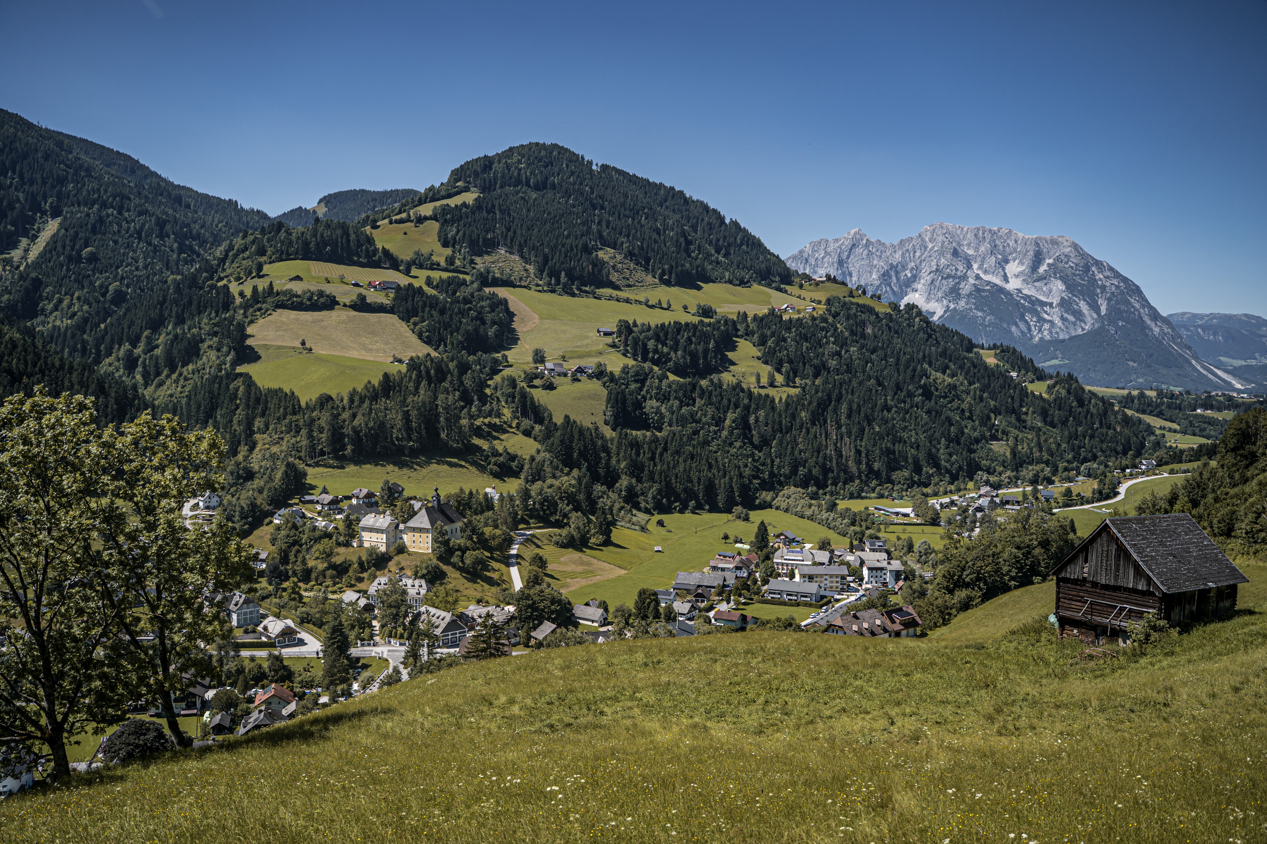
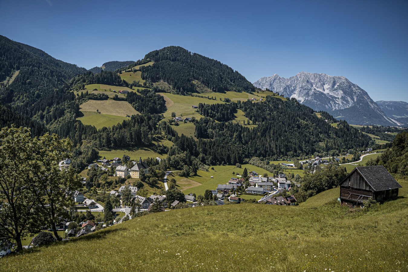
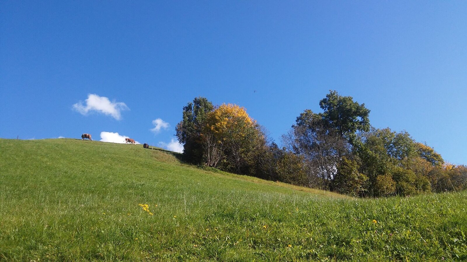
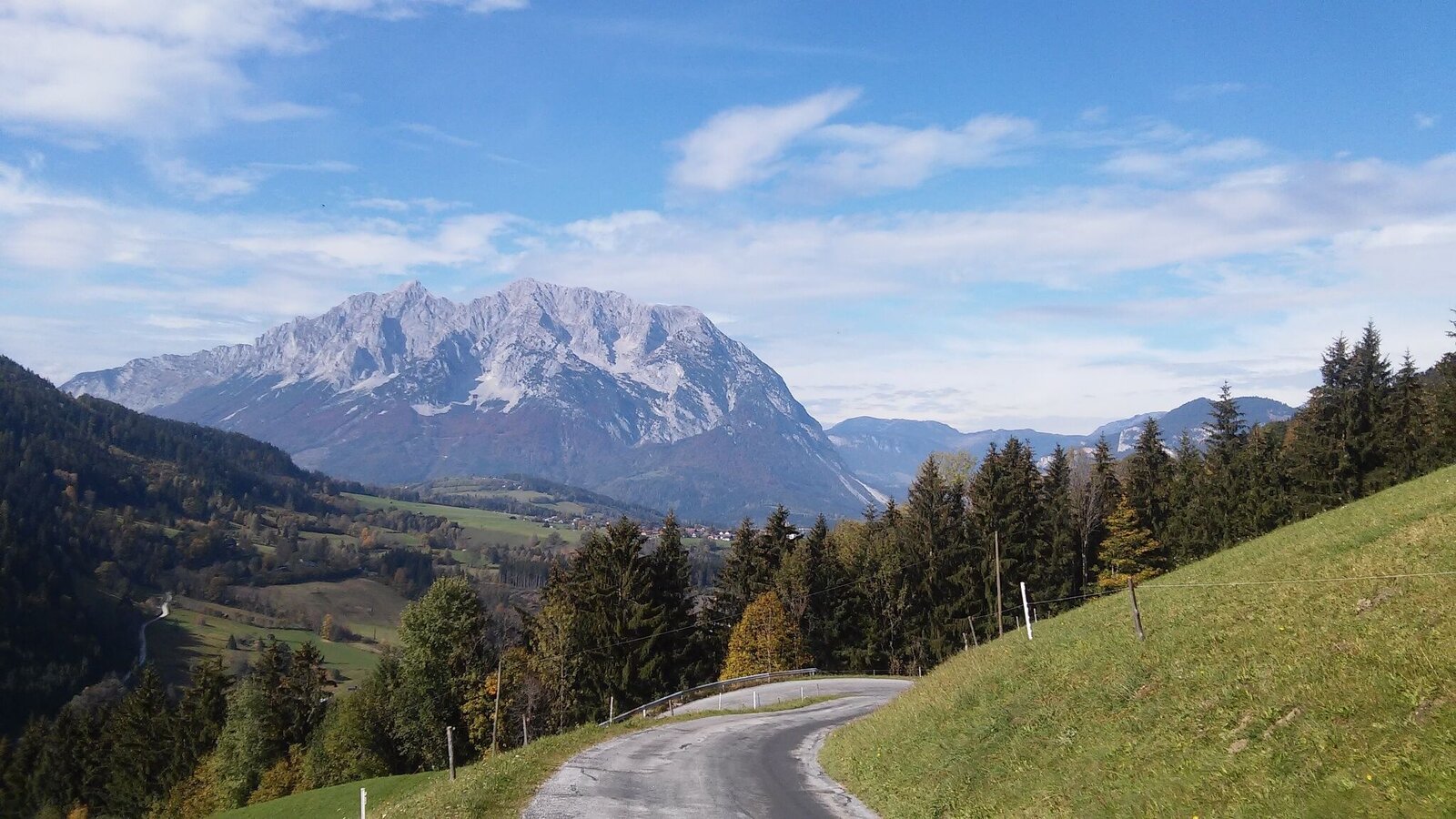
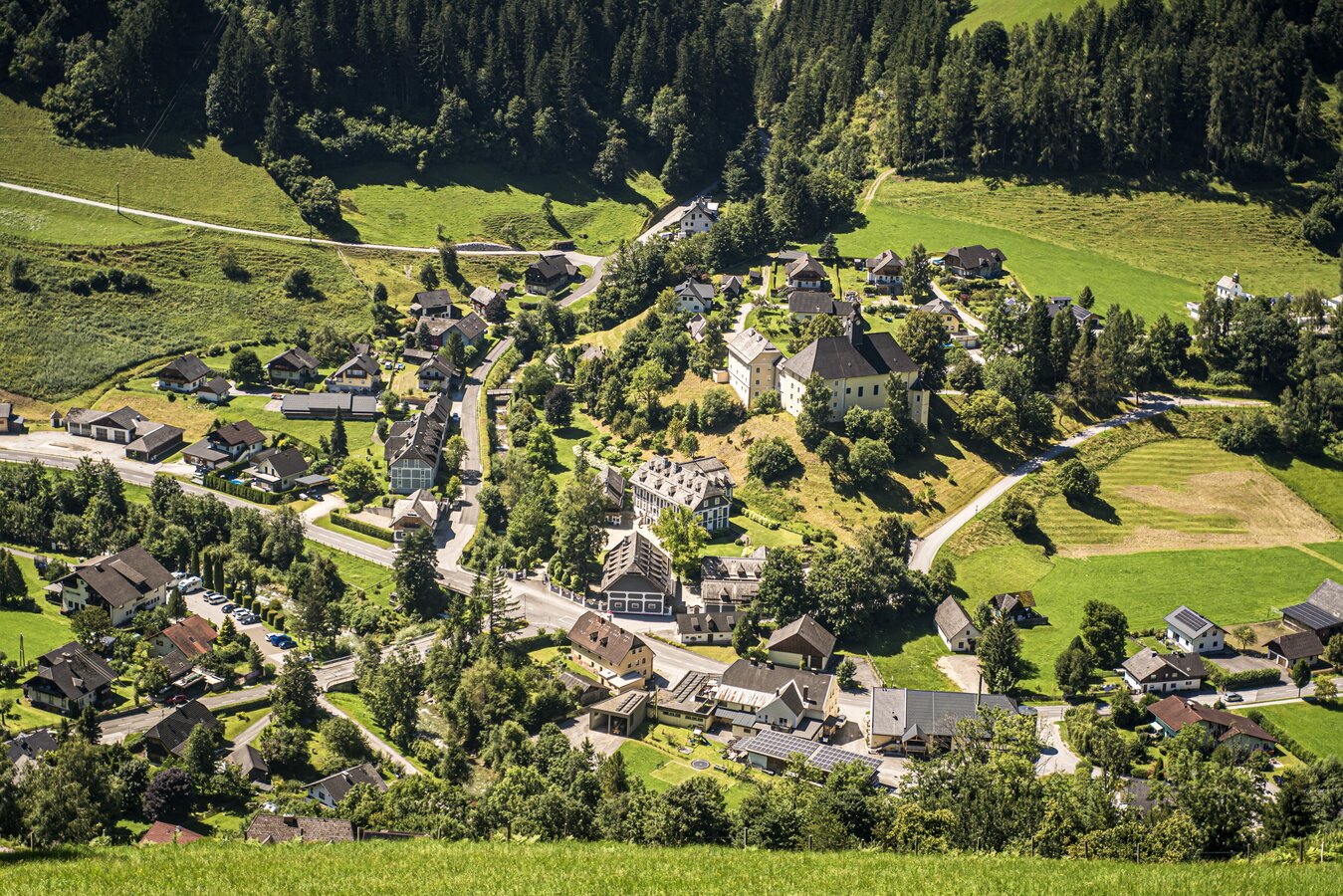
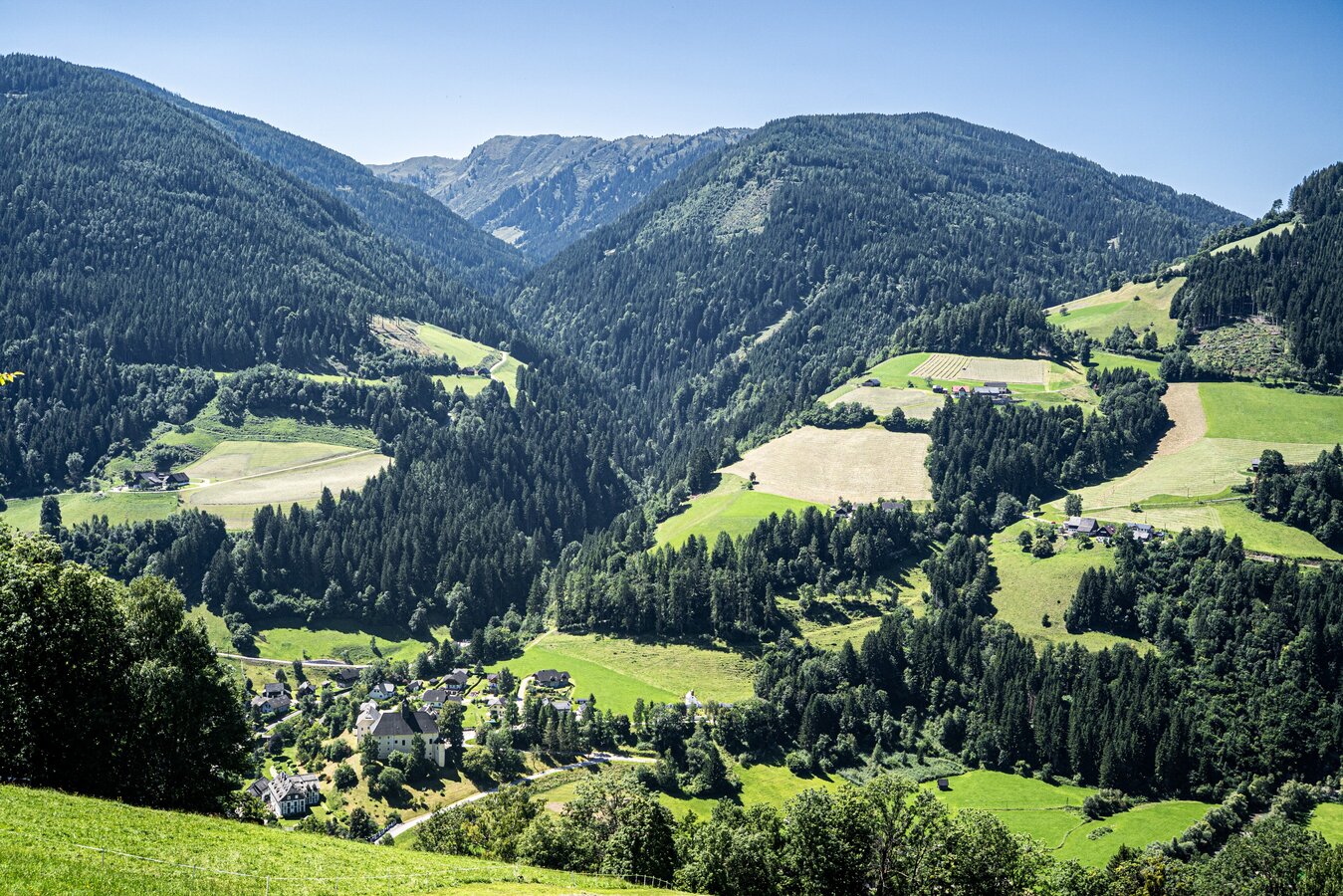
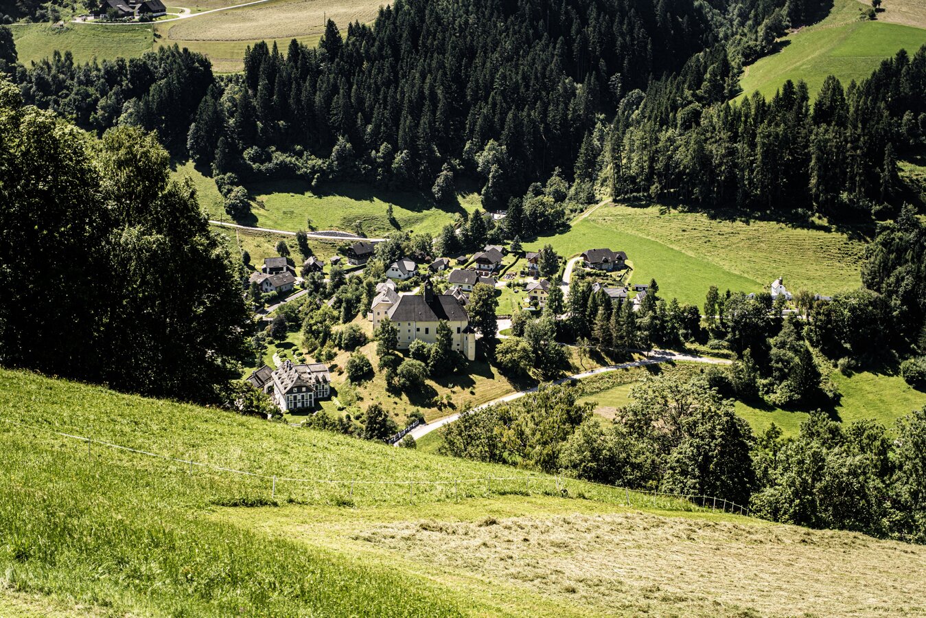
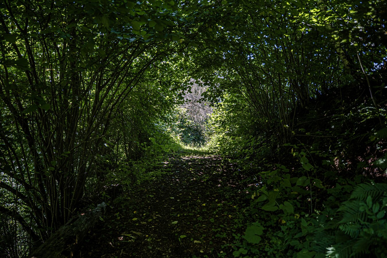
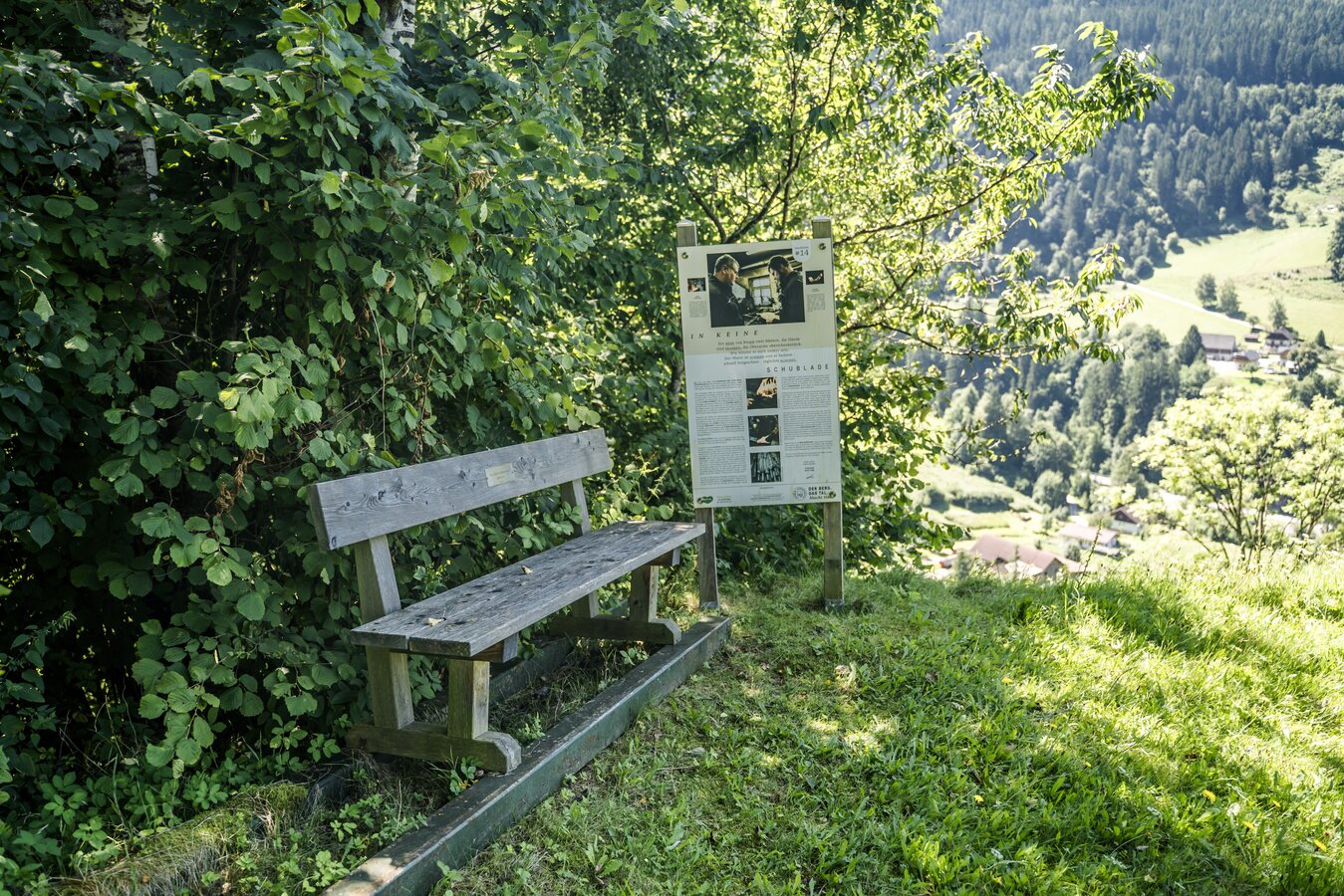
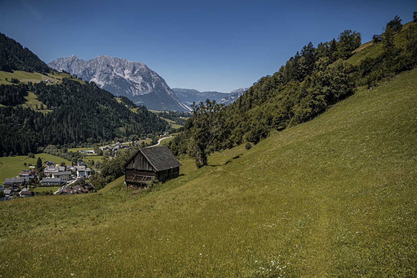
At the beginning in uphill turns, past old-established farms, the path finally leads you through the forest and across white meadows back into the valley. Grandiose views are guaranteed and the rest at a small hay barn (almost at the end of the hike) is a small and fine source of strength.
The tour
easy
publicly accessible
Starting and end point
Parkingplace - Recreational facility
Tour characteristics
Distance: 5.8 km
Fitness (2/6)
Information
Distance: 5.8 km
Duration:
2:00 h
Ascent: 250 m
Descent: 250 m
highest point: 926 m
Best season
Jan
Feb
Mar
Apr
May
Jun
Jul
Aug
Sep
Oct
Nov
Dec
Map, elevation profile & further information
From the parking lot you cross the road and walk along the marked trail over several hairpin bends uphill towards Erlsberg. At the fork in the road after the farm "Moar in der Gassn", turn right to the Krapflhof farm. Continuing along the road, you will again pass two farms. Keep to the markings, then you can't miss the turnoff to the right. On a field path straight ahead to a piece of forest, turn right again at the fork. From then on, the trail leads you through the forest and across snow-covered meadows back to the village and along the sidewalk back to the starting point.
Way number: 3
From the Ennstalbundesstraße (B320) at the Trautenfels traffic circle, drive in the direction of Irdning, Donnersbach, Donnersbachwald. The recreation center is located shortly before the center of Donnersbach on the right side of the road.From the Ennstalbundesstraße (B320) at the Trautenfels traffic circle, drive in the direction of Irdning, Donnersbach, Donnersbachwald. The recreation center is located shortly before the center of Donnersbach on the right side of the road.
Free Parking at the recreational facility
Free Parking at the recreational facility
With the bus 941 to the busstop ,,Donnersbach Vorstatt''.
Here is also the start point.
The next trainstation is far away 11 kilometers.
- Plan your trip in advance, taking into account walking time, distance, elevation gain, hazards, and weather reports.
- Let others know where you are going and when you want to be back.
- Turn back in good time if the weather deteriorates. If you are caught in a thunderstorm, stay away from free-standing trees and wait out the storm, crouching if possible.
- Stay on marked trails and remember to close pasture fences.
- If you are a dog owner: Clarify before the hike if you need to cross a pasture. Keep your dog on a leash and make sure it stays calm. If a cow attacks, let the dog off the leash immediately. Never pick him up to defend him.
Visit the Historyplace before the tour ends.Tourism information: www.schladming-dachstein.at
Tourist Office Schladming-Dachstein
Ramsauerstrasse 756
8970 Schladming
T: +43 3687 23310
info@schladming-dachstein.at
- SCHLADMING-DACHSTEIN Hiking EAST. Available free of charge from tourist offices and accommodation providers.
- SCHLADMING-DACHSTEIN Hiking Map (1:50.000)