contact
contact
Grimming-Donnersbachtal

Snowshoe hiking tour Aicherlkar
Tour description

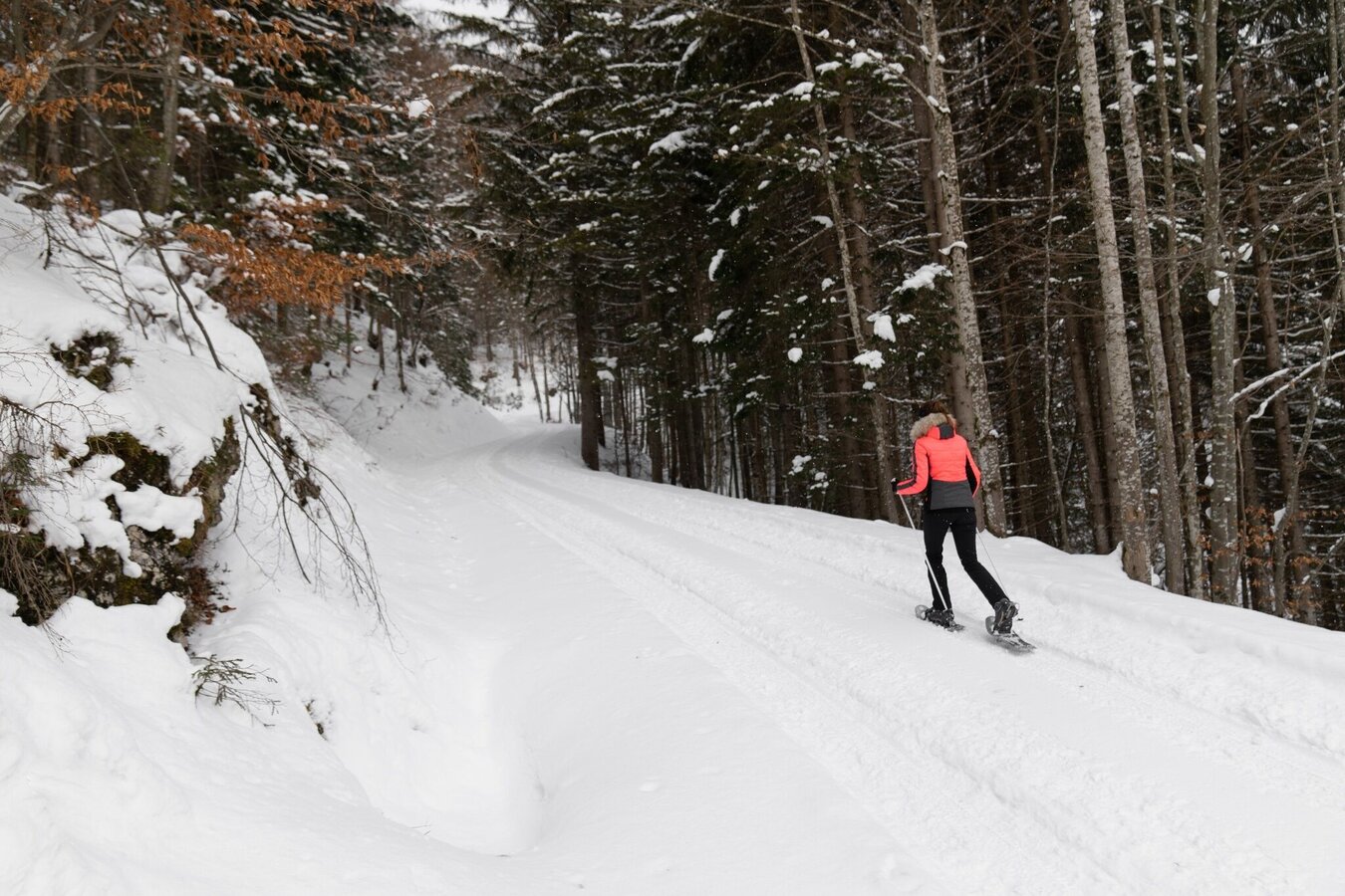
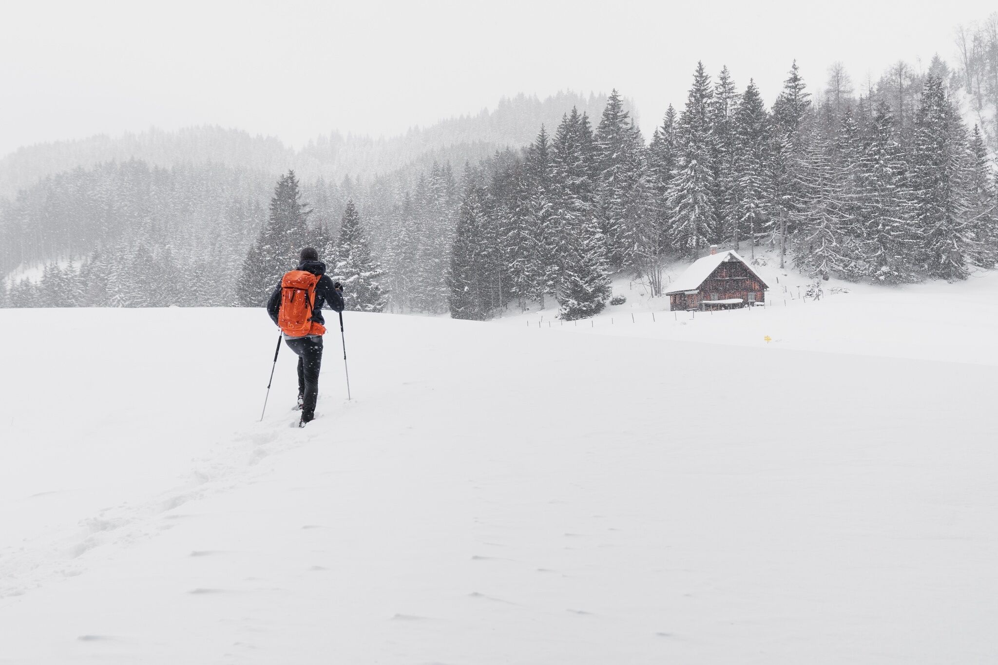
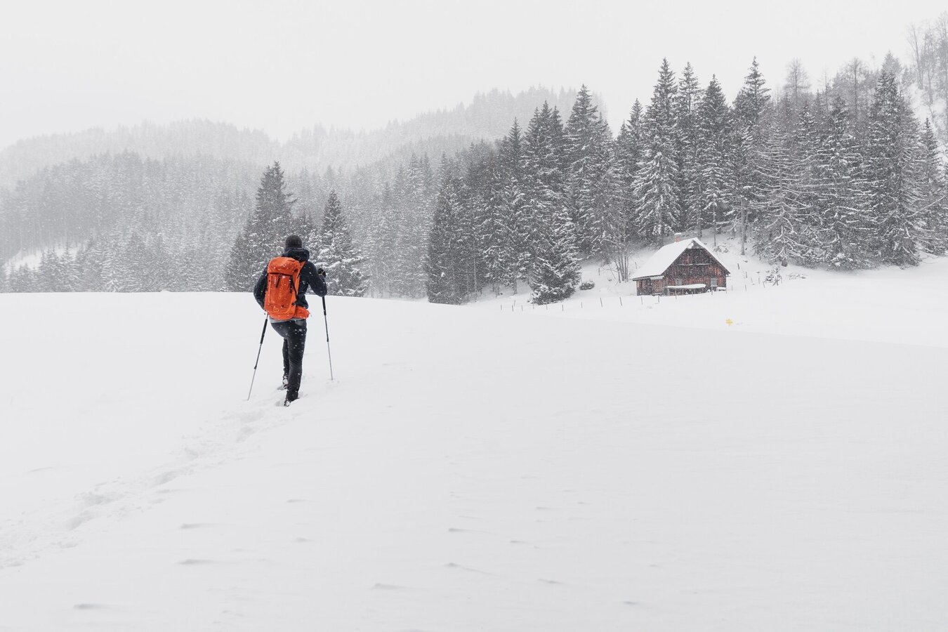
On the sunny side of the Ennstal, you will cover a significant amount of elevation here in Wörschach. A wonderful view of the surrounding peaks will compensate you for your efforts.

The tour

moderate
publicly accessible
Starting and end point Community Office Wörschach
Tour characteristics
Distance: 5.6 km
Fitness (2/6)
Skills (2/6)
Information
Distance: 5.6 km
Duration: 3:15 h
Ascent: 500 m
Descent: 500 m
highest point: 1142 m
Best season
Jan
Feb
Mar
Apr
May
Jun
Jul
Aug
Sep
Oct
Nov
Dec

Map, elevation profile & further information

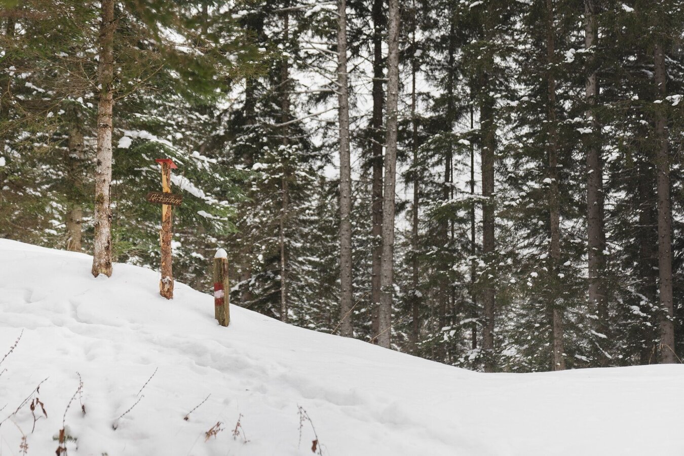
The starting point is at the war memorial in the centre of Wörschach. From there, the trail first takes you along a side road before continuing steadily uphill on the marked forest and woodland paths to the Aicherlkar. The same route takes you back.
Trail conditions
Leave the Ennstalbundesstraße (B320) in Wörschach and follow the Dorfstraße to the Community Office.A free parking lot is located directly at the Community Office.
Take bus 940/941 to the bus stop in the center of Wörschach. There you will also find the starting point of the hike.
Bus schedule: www.verbundlinie.atThe nearest train station is in Wörschach (only regional trains stop here).
Train timetable: www.oebb.at
Snowshoes, winter mountain boots or sturdy mountain boots and telescopic poles with snow plates
In addition to food and warm drinks, pack spare clothing and a first aid kit
  • You should also pack maps and/or tour descriptions. GPX tracks on your mobile phone or GPS device will also help you   
  • Observe existing regulations: Hunting and game reserves, reforestation or young growth areas
  • You should always have your mobile phone well charged and the emergency number 140 for mountain rescue saved? If you have no reception, take out the SIM card and dial 112.
  • Hire snowshoes, poles and safety equipment from Scherz Schnäppchenshop and Sport Schöttl

Before every snowshoe hike, you should always check the latest avalanche report - available at www.lawine-steiermark.at. Mountain sports and assessing the situation on site are - even more so in winter - primarily your own responsibility. Tourism organisations or avalanche warning services do not accept any liability based on the information provided.

Tourist information: www.schladming-dachstein.at

Schladming-Dachstein Tourist Office
Ramsauerstraße 756
8970 Schladming
T: +43 3687 23310
info@schladming-dachstein.at

Rental possibilities:
Sport Scherz:
Planneralm, T +43 3683 8182
Riesneralm, T +43 3680 350
Bargain shop Scherz in Wörschach+43 3682 22383 sport-scherz.at
Sport Schöttl
Planneralm, T +43 3683 8107
Irdning, T +43 3682 22952 sport.schoettl.at

Schladming-Dachstein OST winter adventure map, available from the information offices in the region.


Wheather predicition

today
08.08.2026
Mountain 19 °C
Valley 27 °C
Precipitation
Probability
40 %
Amount
0.6 l/m²
Wind speed
Süd
5 km / h
Sun
Sun hours
12.3 h
Sunrise
05:50 o clock
Sunset
20:27 o clock

A chance of thundery showers in the early morning an in the afternoon. Some sunshine in between.

tomorrow
09.08.2026
Mountain 23 °C
Valley 31 °C
Precipitation
Probability
5 %
Amount
0 l/m²
Wind speed
Südwest
5 km / h
Sun
Sun hours
10.5 h
Sunrise
05:52 o clock
Sunset
20:26 o clock

The day starts sunny, but will be partly cloudy in the afternoon.

day after tomorrow
10.08.2026
Mountain 22 °C
Valley 30 °C
Precipitation
Probability
60 %
Amount
1.6 l/m²
Wind speed
Nordwest
10 km / h
Sun
Sun hours
9.6 h
Sunrise
05:53 o clock
Sunset
20:24 o clock

Possibly sunny spells in the early morning, later heavy clouds with frequent thunderstorms.

Tours nearby