")

Spechtenlake-Trail
Tour description
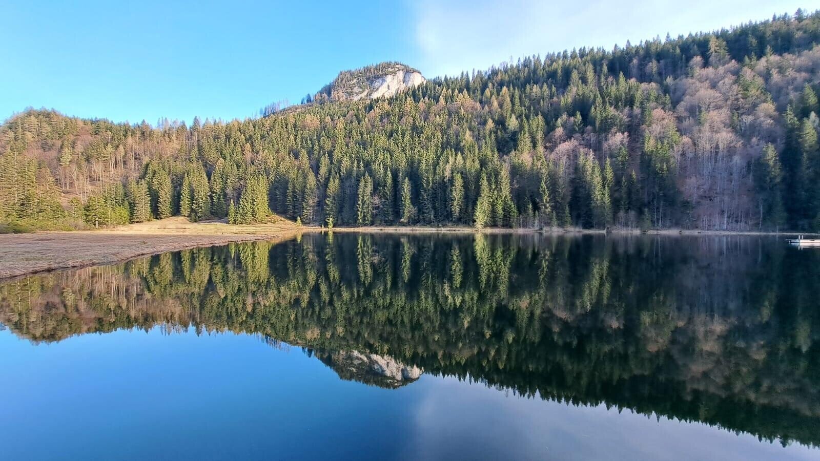
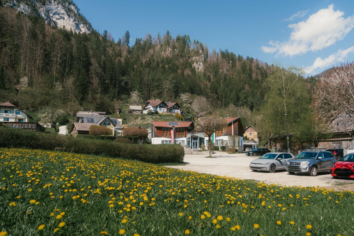
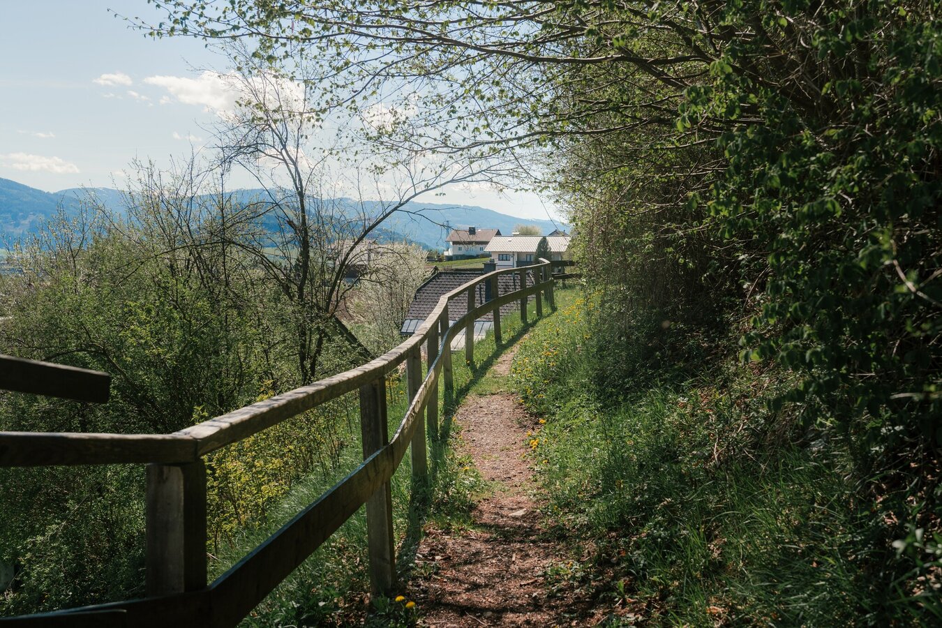
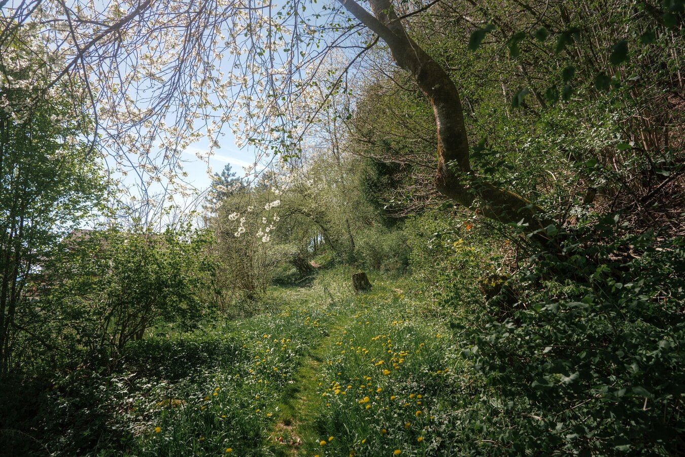
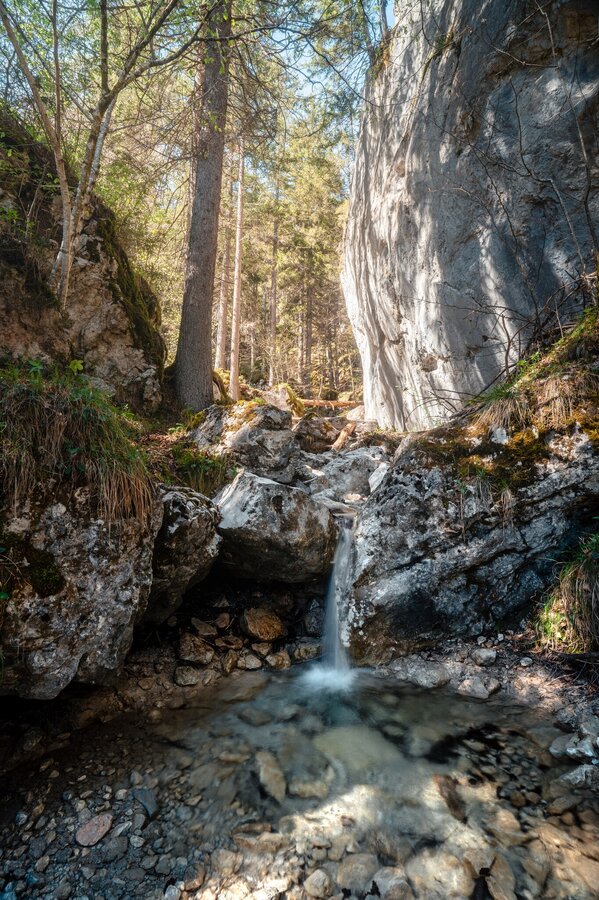
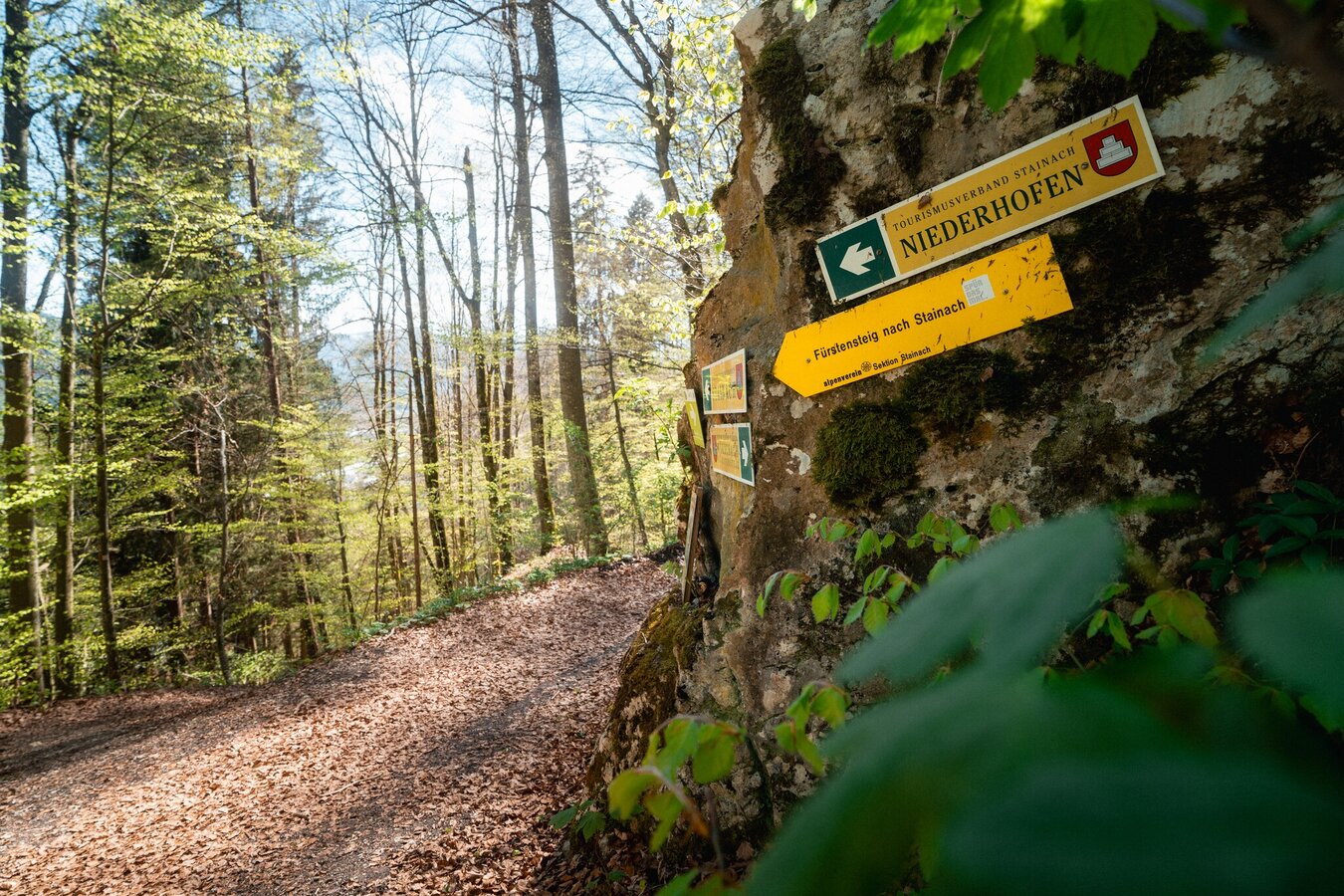
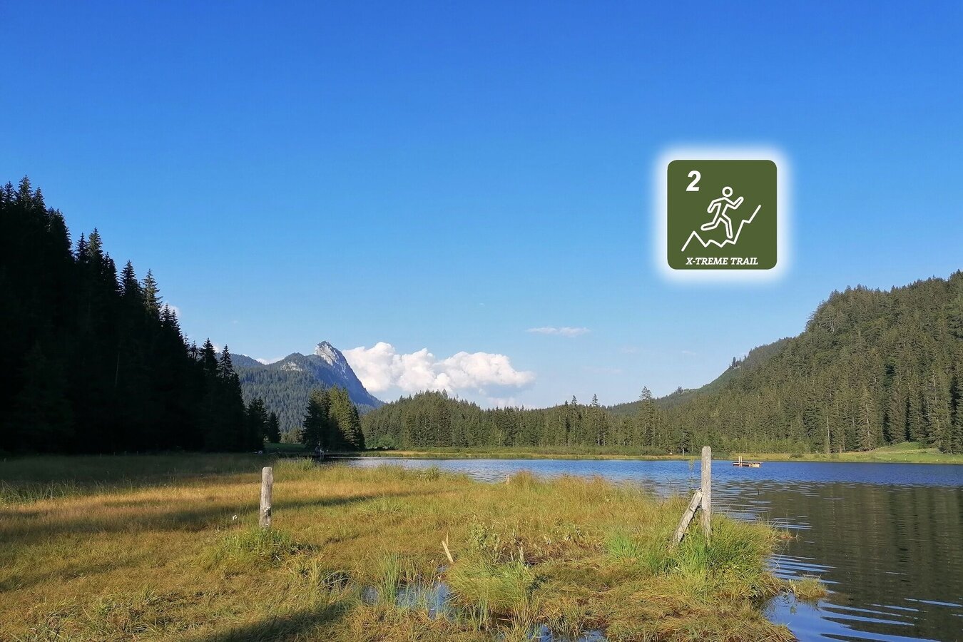
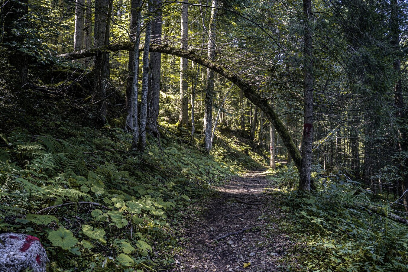
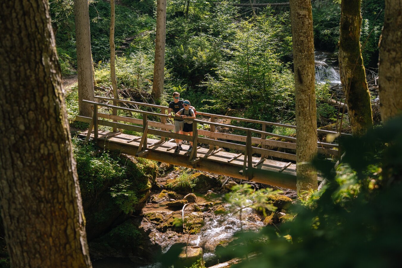
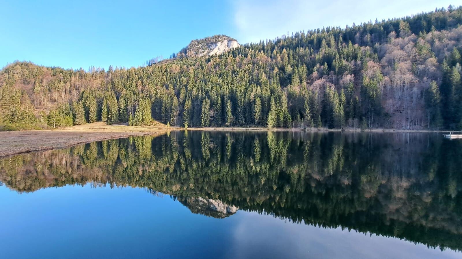
From the starting point GH Weitgasser, this trail also first leads over the Fürstensteig in the direction of Stainach, where the first real climb then leads up to the Leistenalm. After a few meters in altitude, you pass directly by the Spechtensee. From there it goes first still over an asphalt section, until it goes again over a forest road in the direction of Aicherlkar. Forest paths, single trails and an alternation of up and down passages lead you past the Aicherlstein.
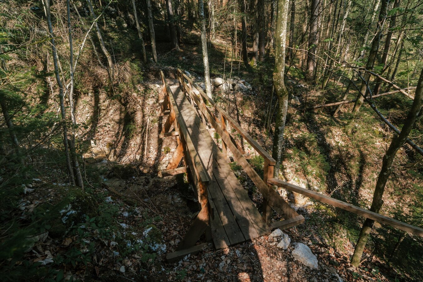
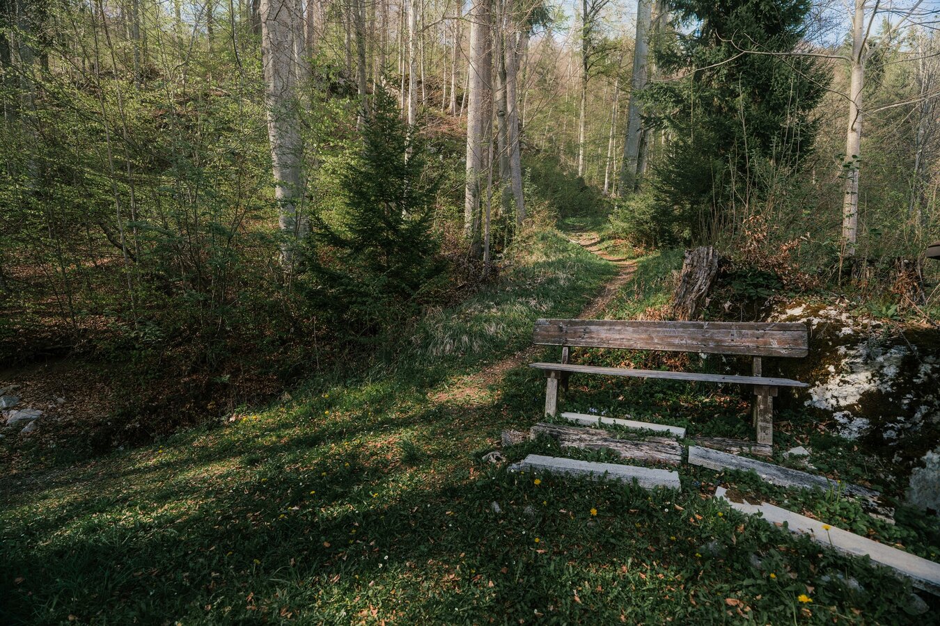
The last kilometers are a downhill in technically demanding terrain. Narrow single trails lead you through the forest back to the starting point.
The tour
Map, elevation profile & further information
All informations under:
- Plan your trail in advance
- Inform yourself about the course of the trail and its demands
- Pay attention to weather forecasts and weather changes
- Let others know where you are going
- Adapt your equipment to the weather and the trail
- Be aware of livestock when crossing pastures
- Trail running shoes - no asphalt running shoes
- Running backpack or vest depending on the length of the tour hydration bladder or softflasks
- thin windbreaker
- first aid kit, including emergency blanket
- cell phone
- energy bar
- money
- change of shirt
- Headband
- Sunglasses
Tourism blog: www.derbergdastal.at
www.schladming-dachstein.at/de/Sommer/Wandern-und-Bergsport/Laufen-und-Trailrunning
Tourist Office Schladming-Dachstein
Ramsauerstrasse 756
8970 Schladming
T: +43 3687 23310
Garbage on meadows and paths can not smell mountain and valley. Please take it with you. Agriculture and forestry are important partners for Berg und Tal. They allow you to walk and drive on many of their paths. Be aware that only good cooperation will guarantee your recreational enjoyment in the future.
-
Trailrunning map Schladming-Dachstein: available free of charge at all info locations
- KOMPASS Hiking Map 68, Ausseerland-Ennstal 1:50.000, hiking, biking, ski touring.


