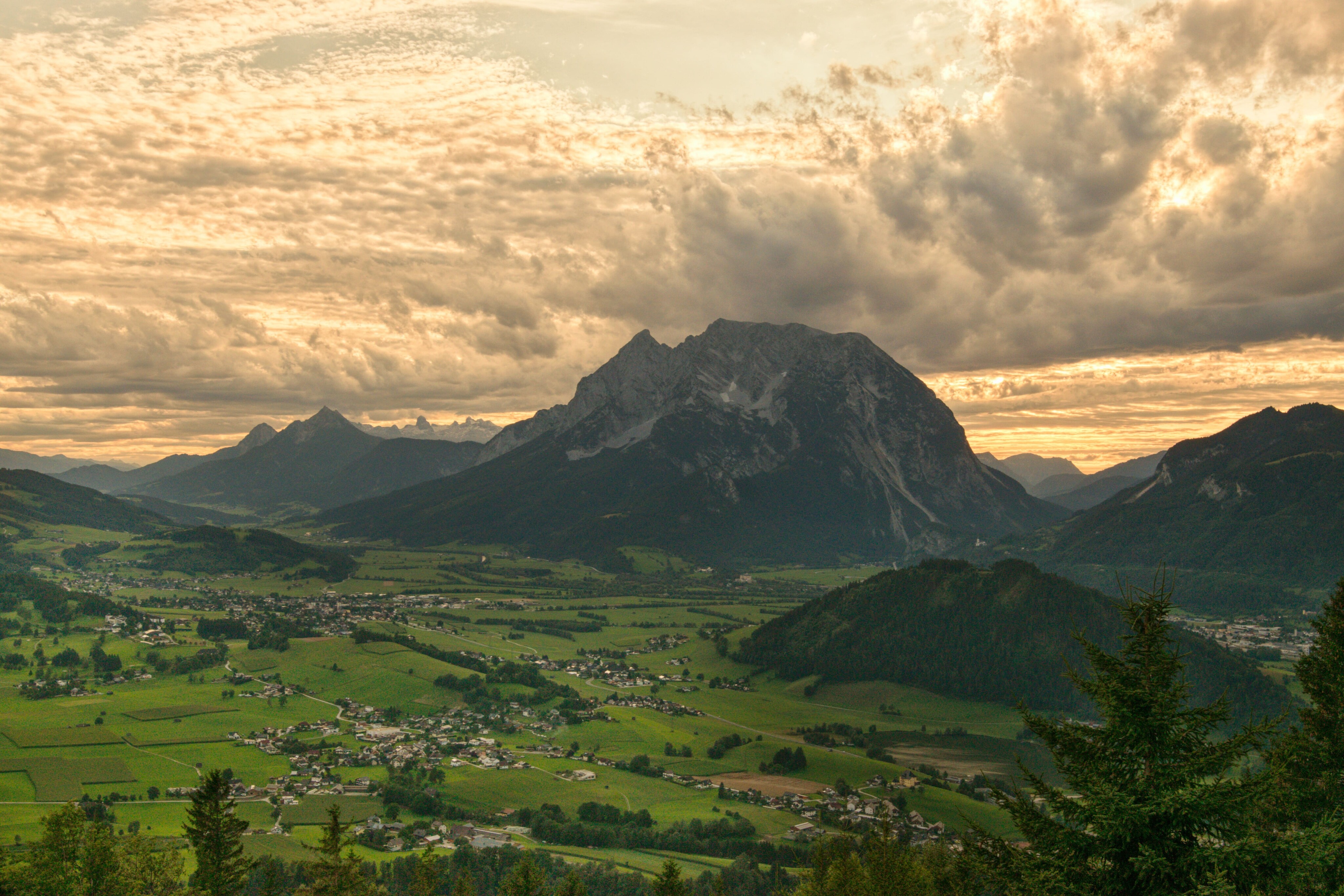
Grimming-Donnersbachtal
Stalingkreuz-Kohlanger-Rastanger-Way
Hiking trail
Data:
copyright: Christoph Lukas
copyright: Christoph Lukas
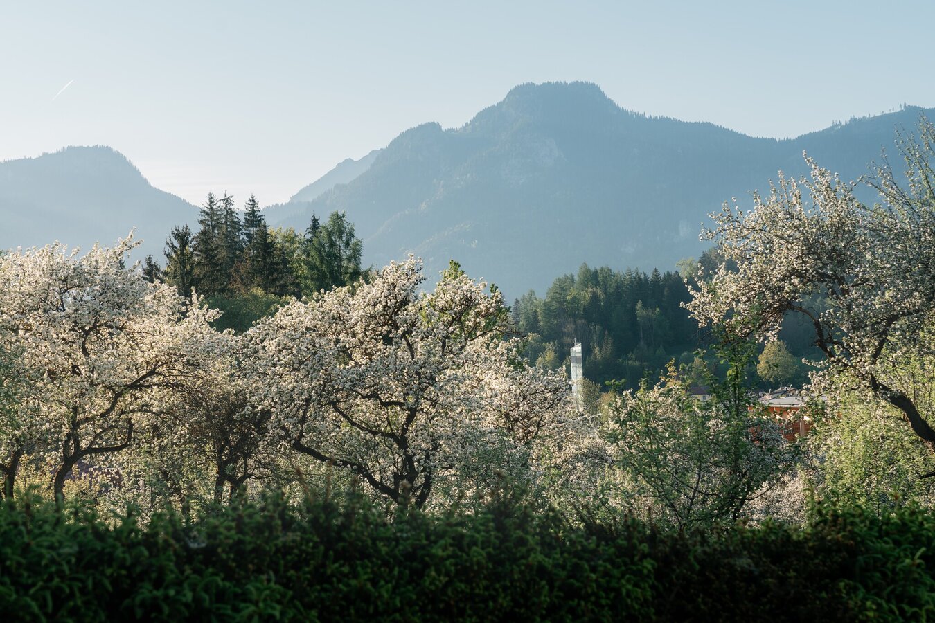
copyright: Christoph Lukas
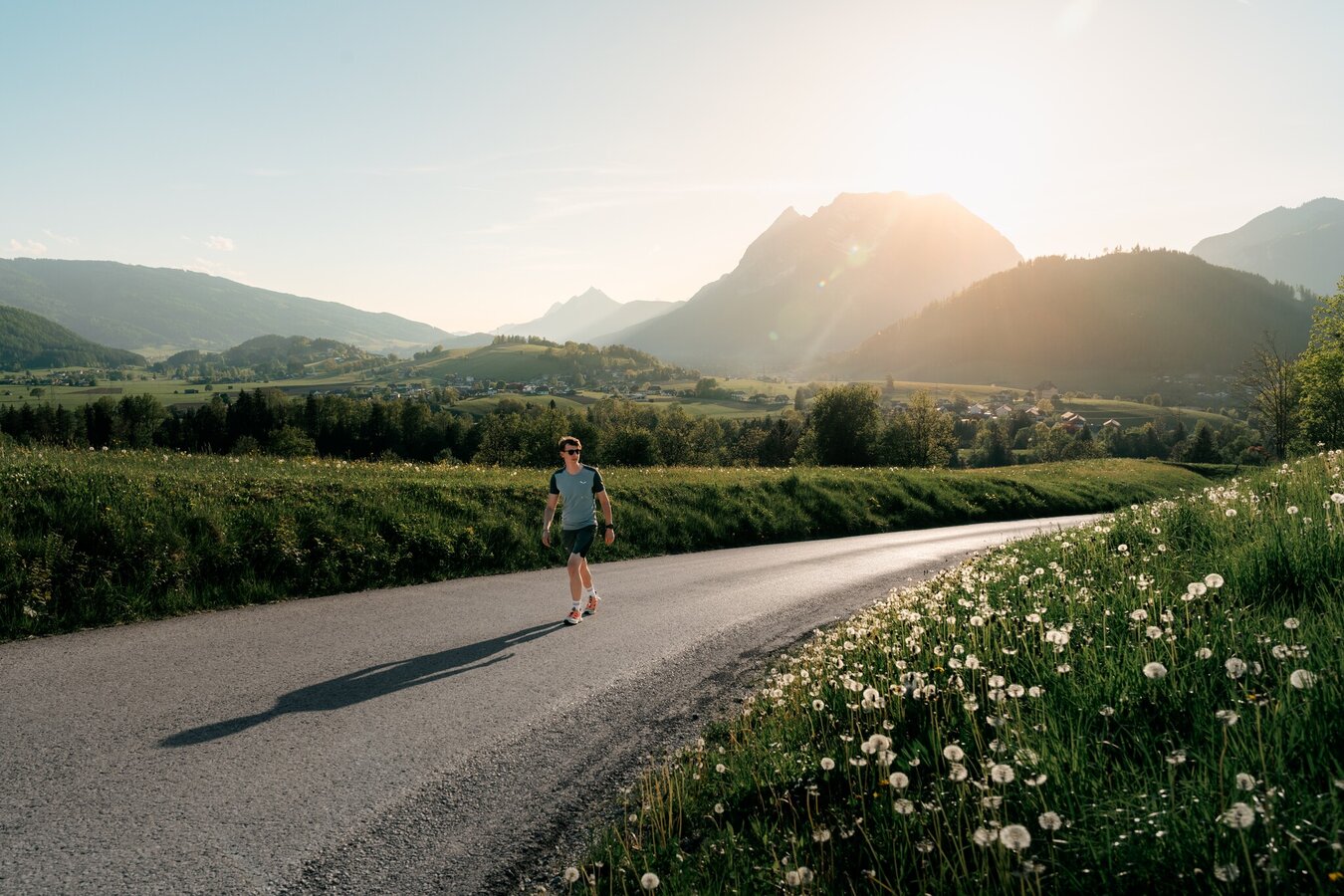
copyright: Christoph Lukas
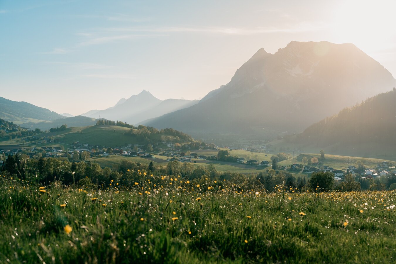
copyright: Christoph Lukas
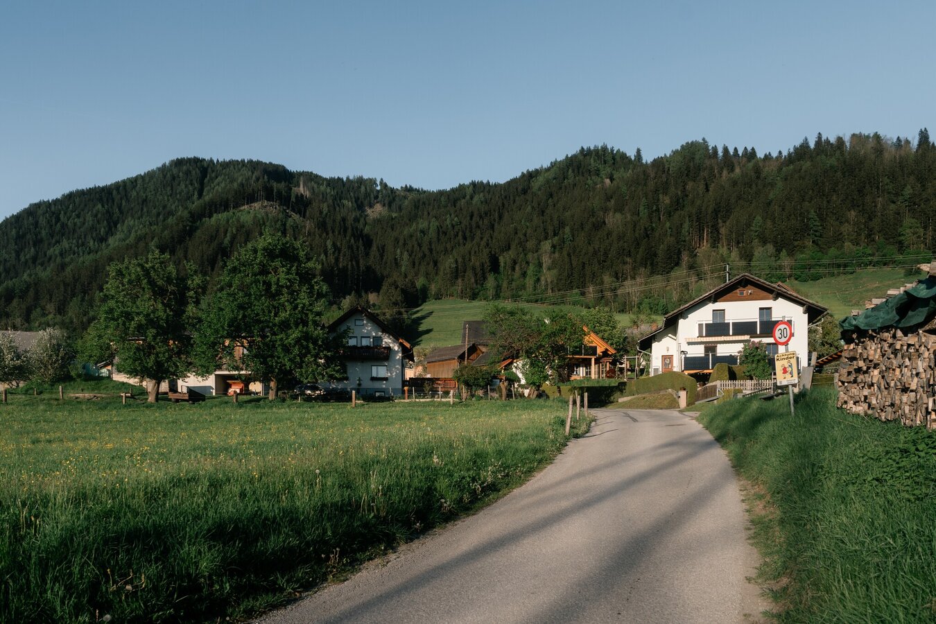
copyright: Christoph Lukas
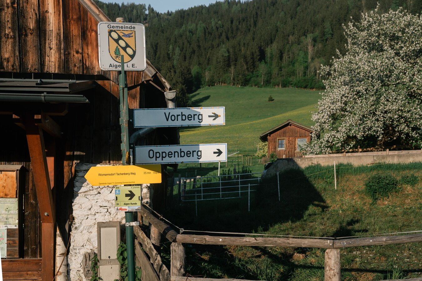
copyright: Christoph Lukas
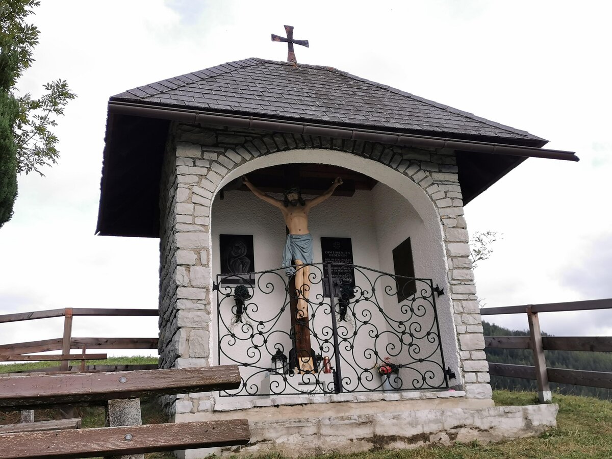
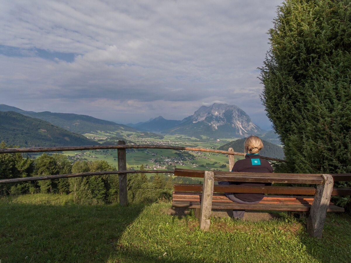
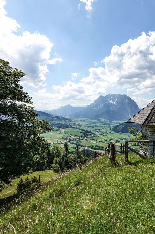
copyright: Christoph Lukas
copyright: Christoph Lukas
copyright: Christoph Lukas
copyright: Christoph Lukas
Tour description
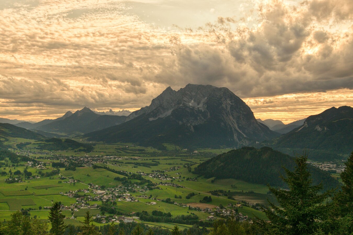
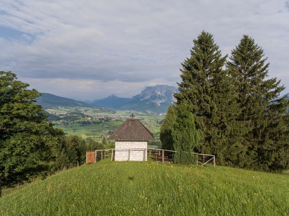
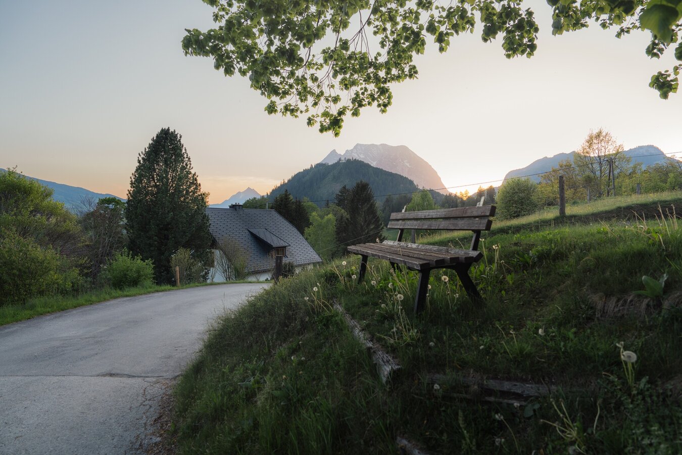
RETROSPECT WITH A VIEW. Via Ritzmannsdorf and a sunken path to the Stalingrad Chapel. Be sure to take a break with a wow view. Well strengthened, you will manage the somewhat steeper climb over Kohlanger with left. Via Rastanger and Tachenberg back to the valley.
The tour
moderate
publicly accessible
Starting and end point
Parking at the tennis court
Tour characteristics
Distance: 11.8 km
Fitness (3/6)
Skills (2/6)
Information
Distance: 11.8 km
Duration:
4:30 h
Ascent: 715 m
Descent: 715 m
highest point: 1356 m
Best season
Jan
Feb
Mar
Apr
May
Jun
Jul
Aug
Sep
Oct
Nov
Dec
Map, elevation profile & further information
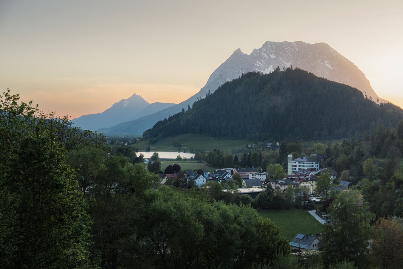
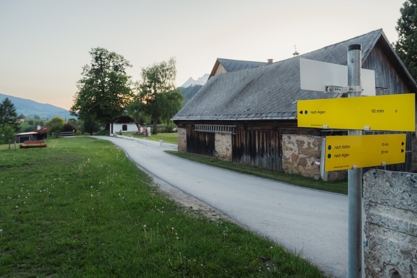
A hike high above Aigen with magnificent views. Starting from the tennis court you follow the marking trail to Ritzmannsdorf, continue on a sunken path to the Stalingrad chapel and once again uphill to Kohlanger. From there, the trail continues more leisurely, via Rastanger to Tachenberg and back to Aigen to the starting point.
Way number: 9
In Wörschach or Trautenfels turn off the Ennstalbundesstraße (B320) and continue to the center of Aigen. In Wörschach or Trautenfels turn off the Ennstalbundesstraße (B320) and continue to the center of Aigen.
Free Parking at the start point
Free Parking at the start point
With the bus 940/941 to the busstop ,,Putterersee''. Near there is the start point.
The next trainstaion is far away 6 kilometers.
- Plan your trip in advance, taking into account walking time, distance, elevation gain, hazards, and weather reports.
- Let others know where you are going and when you want to be back.
- Turn back in good time if the weather deteriorates. If you are caught in a thunderstorm, stay away from free-standing trees and wait out the storm, crouching if possible.
- Stay on marked trails and remember to close pasture fences.
- If you are a dog owner: Clarify before the hike if you need to cross a pasture. Keep your dog on a leash and make sure it stays calm. If a cow attacks, let the dog off the leash immediately. Never pick him up to defend him.
Soak up the view from the Natur.Kraft.Platz. Stalingradkapelle over mountain and valley - simply magnificent.Tourism information: www.schladming-dachstein.at
Schladming-Dachstein Tourist Office
Ramsauerstraße 756
8970 Schladming
T: +43 3687 23310
info@schladming-dachstein.at
- SCHLADMING-DACHSTEIN Hiking EAST. Available free of charge from tourist offices and accommodation providers.
- SCHLADMING-DACHSTEIN Hiking Map 1:50,000