Stoderzinken - Steinitzenalm | Dachstein Circular Hiking Trail: Stage 05
Tour description
The tour
Map, elevation profile & further information
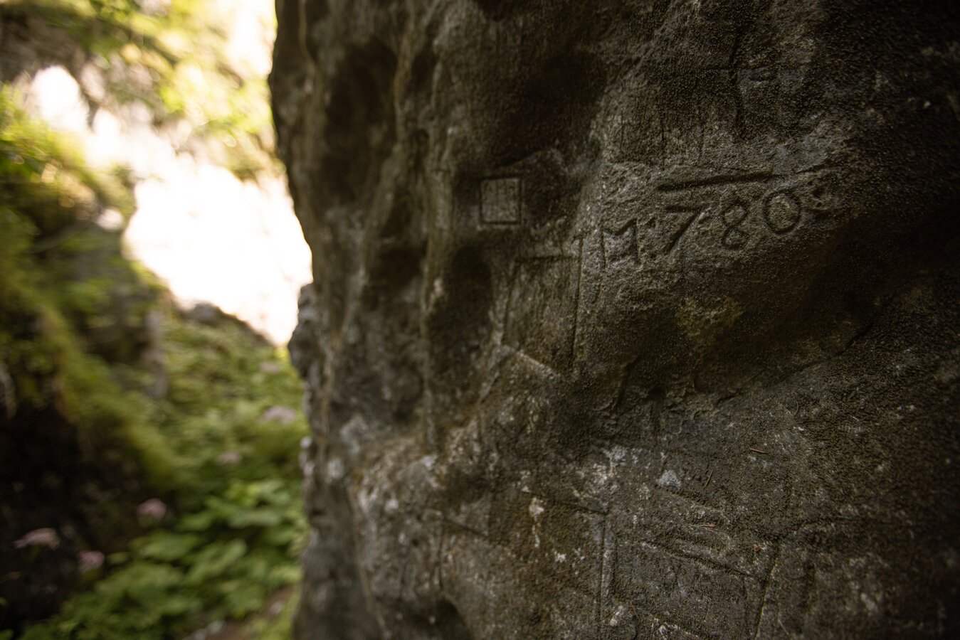
We go downhill from the Gasthof Steinerhaus and continue along path 618. We walk over big roots and uneven ground until to our right, below the Kimpflingsattel, there is a turnoff to the Notgasse of path 618. Here we have to take a close look, as the turnoff is signposted, but still easy to miss. From here we walk about 30 minutes to the actual Notgasse, an impressive gorge with up to 60m high rock faces and historical rock carvings. We follow the path through the gorge until we reach a forest path that we follow up to Brandalm. We continue along the path past the Viehbergalm into the forest - this section is also called "Bettlersteig". The path leading on is marked as a Dachstein circular hiking trail and leads over the summit of Hochmühleck and over the Goseritzalm always downhill through the forest to the Steinitzenalm.
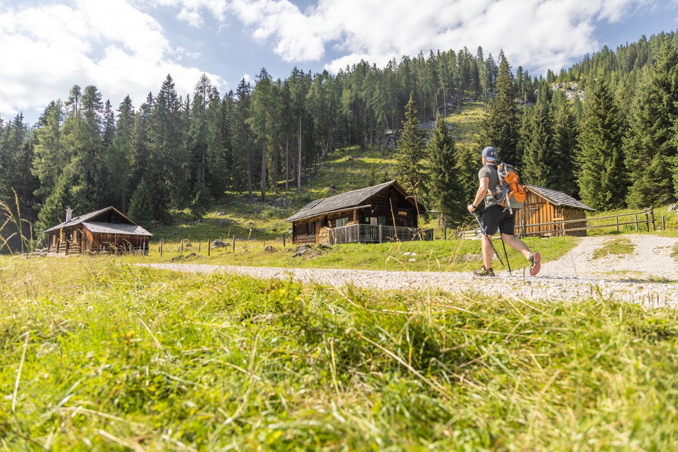
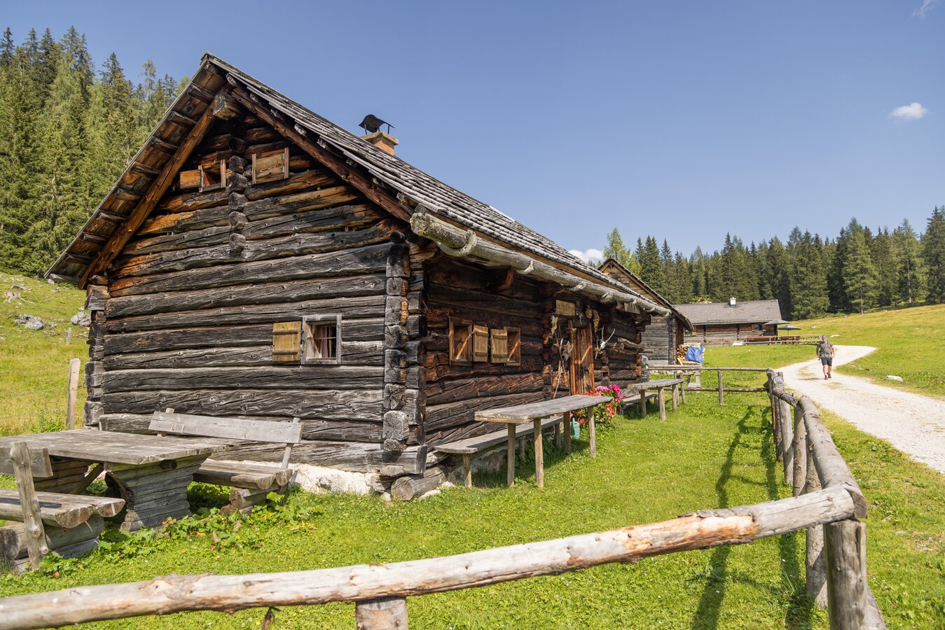
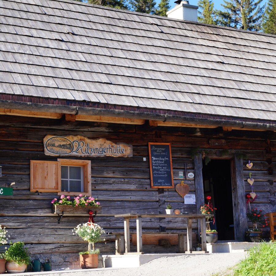
Tip: At the Viehbergalm, traditional alpine huts invite you to stop for a bite to eat. The Ritzingerhütte also offers overnight accommodation.
This tour leads to alpine heights, so you should expect sudden weather changes.
sturdy shoes, rainproof clothing, rucksack, enough supplies, sleeping bag if necessary
Sections of this stage are part of the northern route of the long-distance hiking trail "From glacier to wine".