Sun Tour Rohrmoos
Tour description
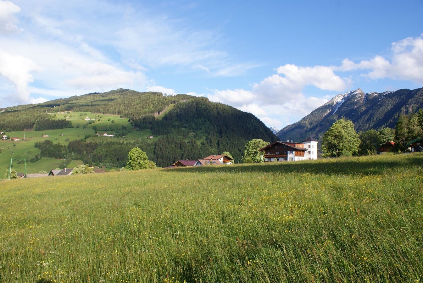
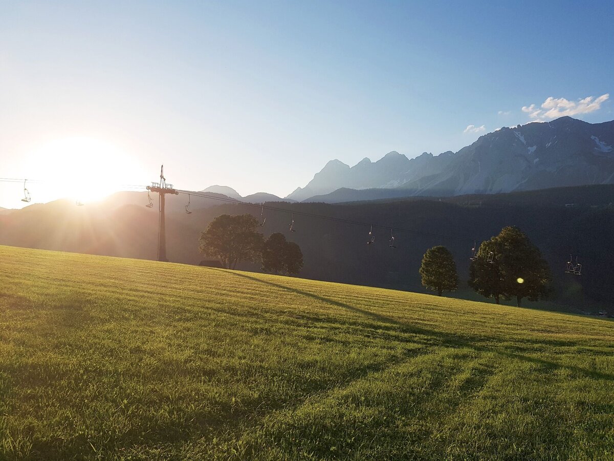
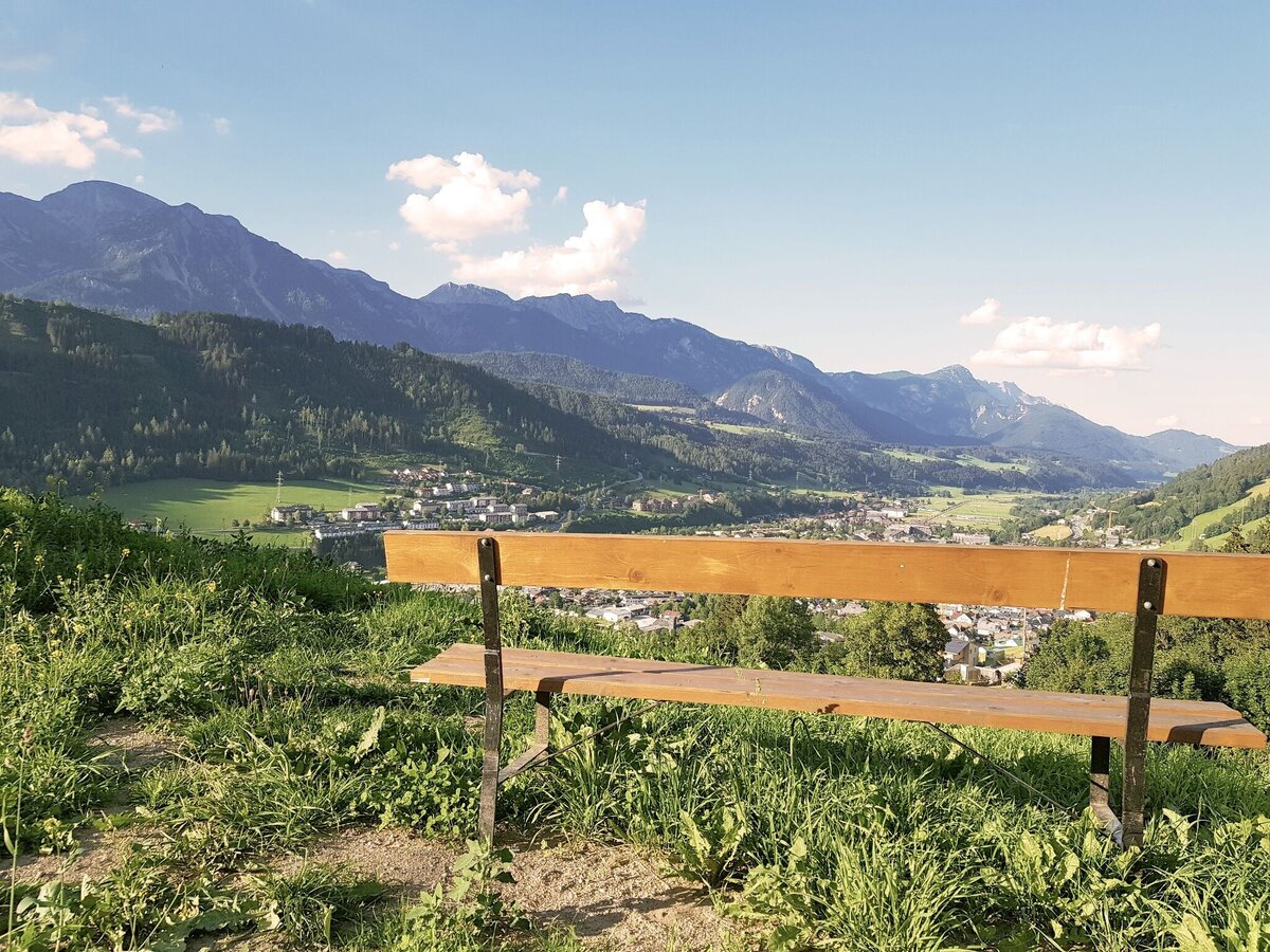
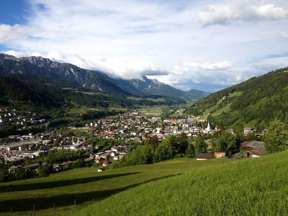
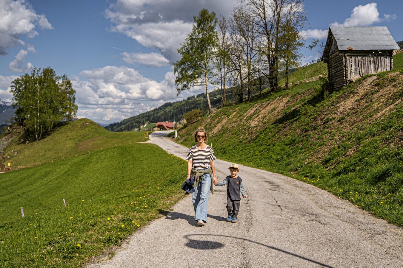
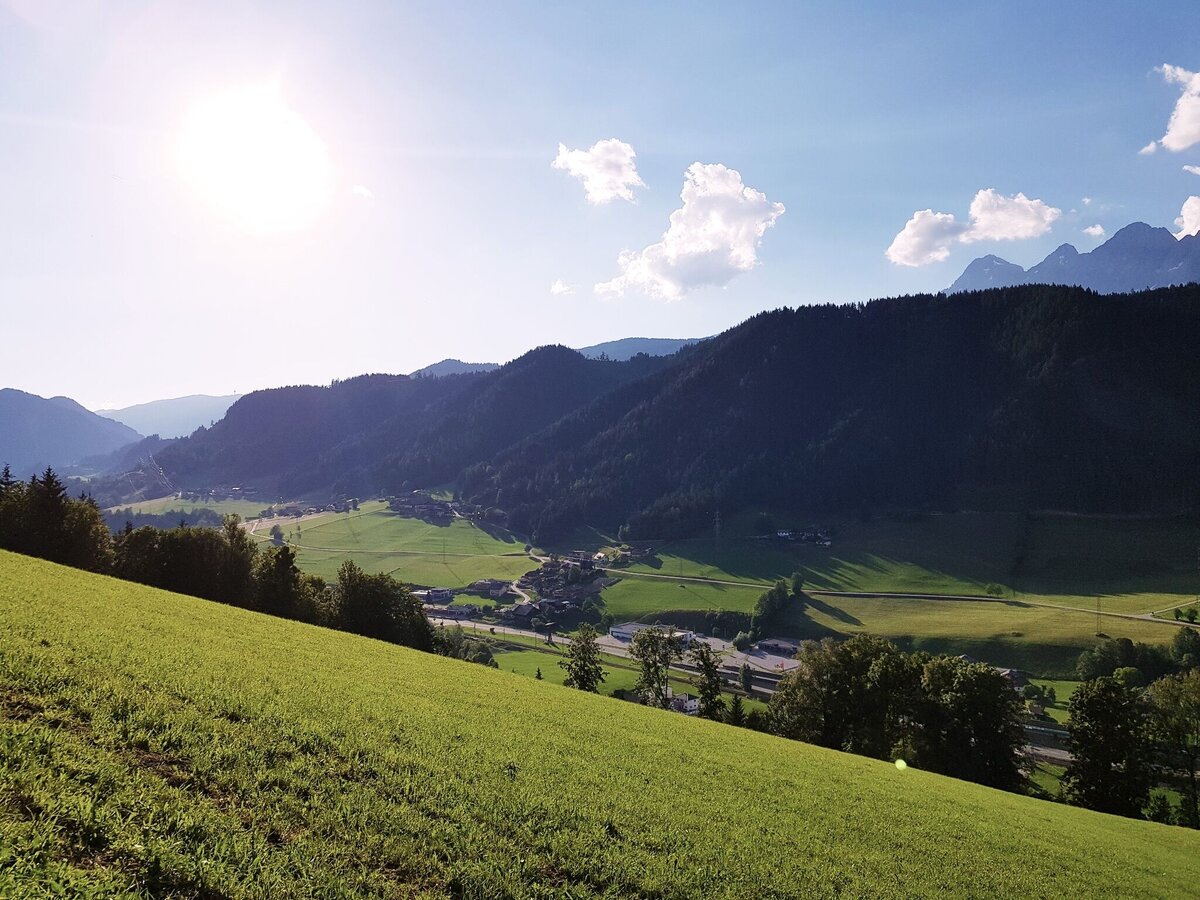
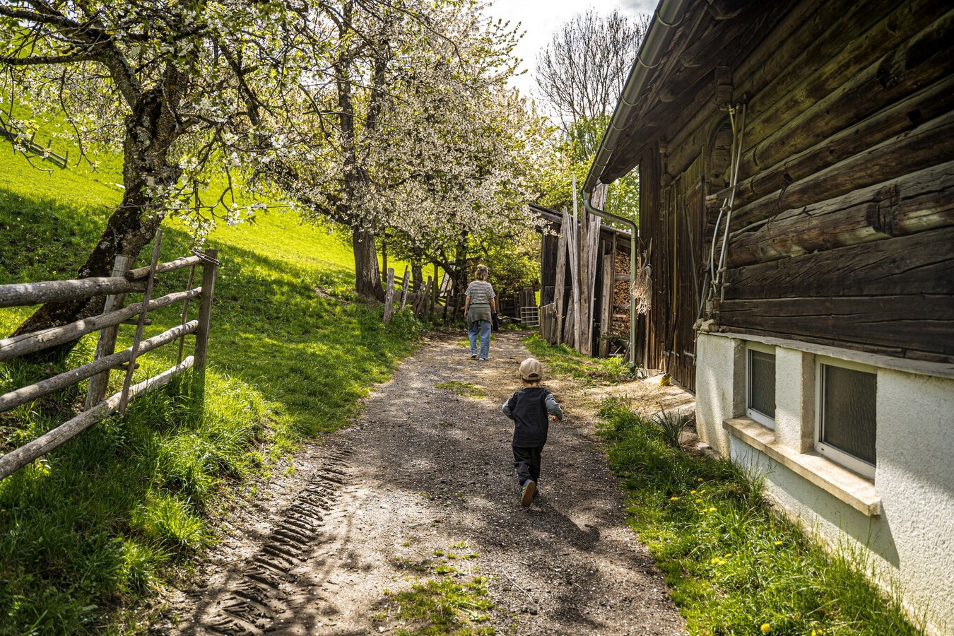
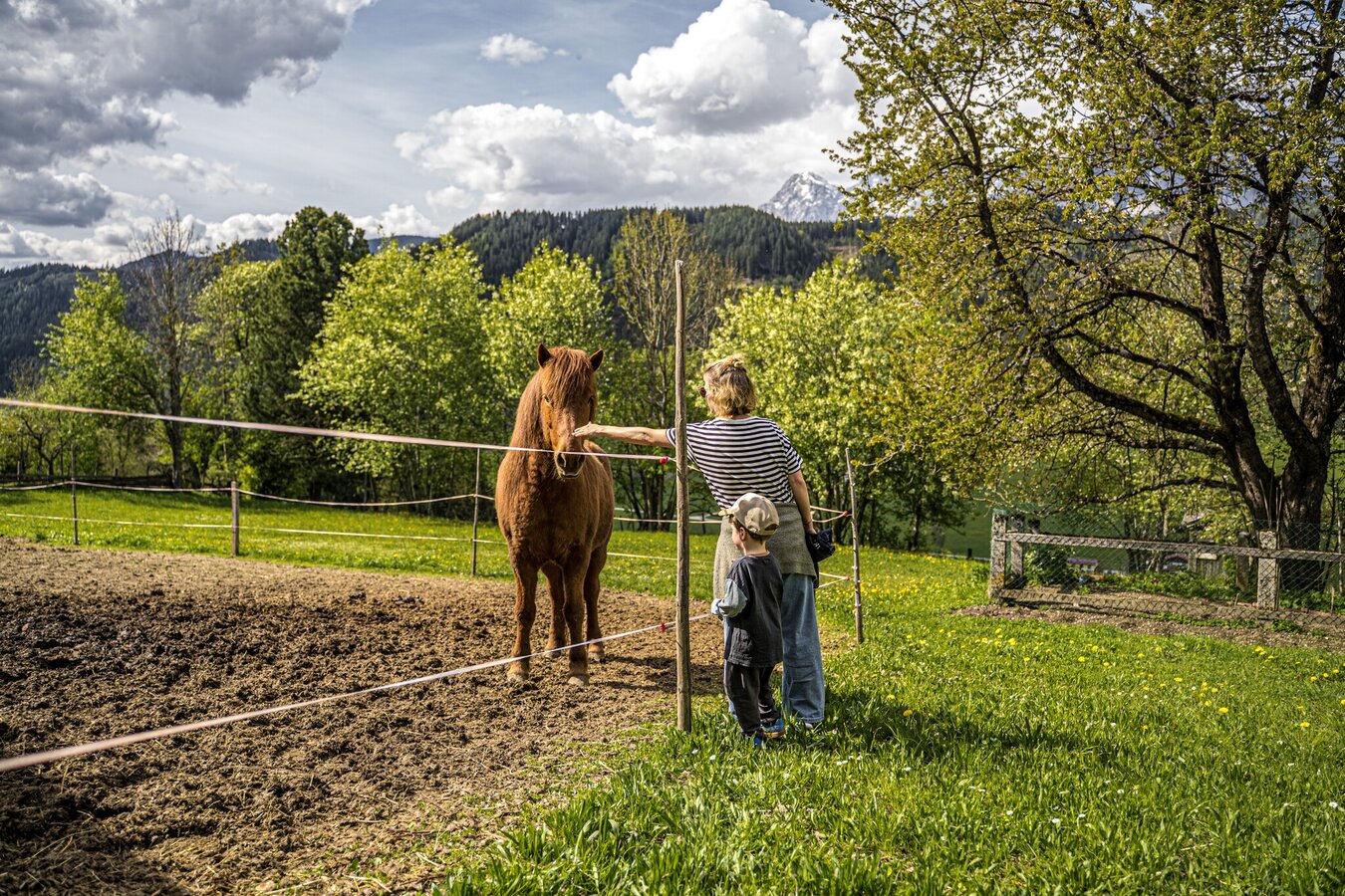
A walk through the village of Rohrmoos with several refreshment stops on the way. Also perfect for a walk after dinner. Along Mosergasse alley, Wiesenweg road and Reiterkreuzweg road you explore the lower part of Rohrmoos. The walk holds nice views to Schladming, Obere Klaus, Pichl and the Dachstein massif.
The tour
Map, elevation profile & further information
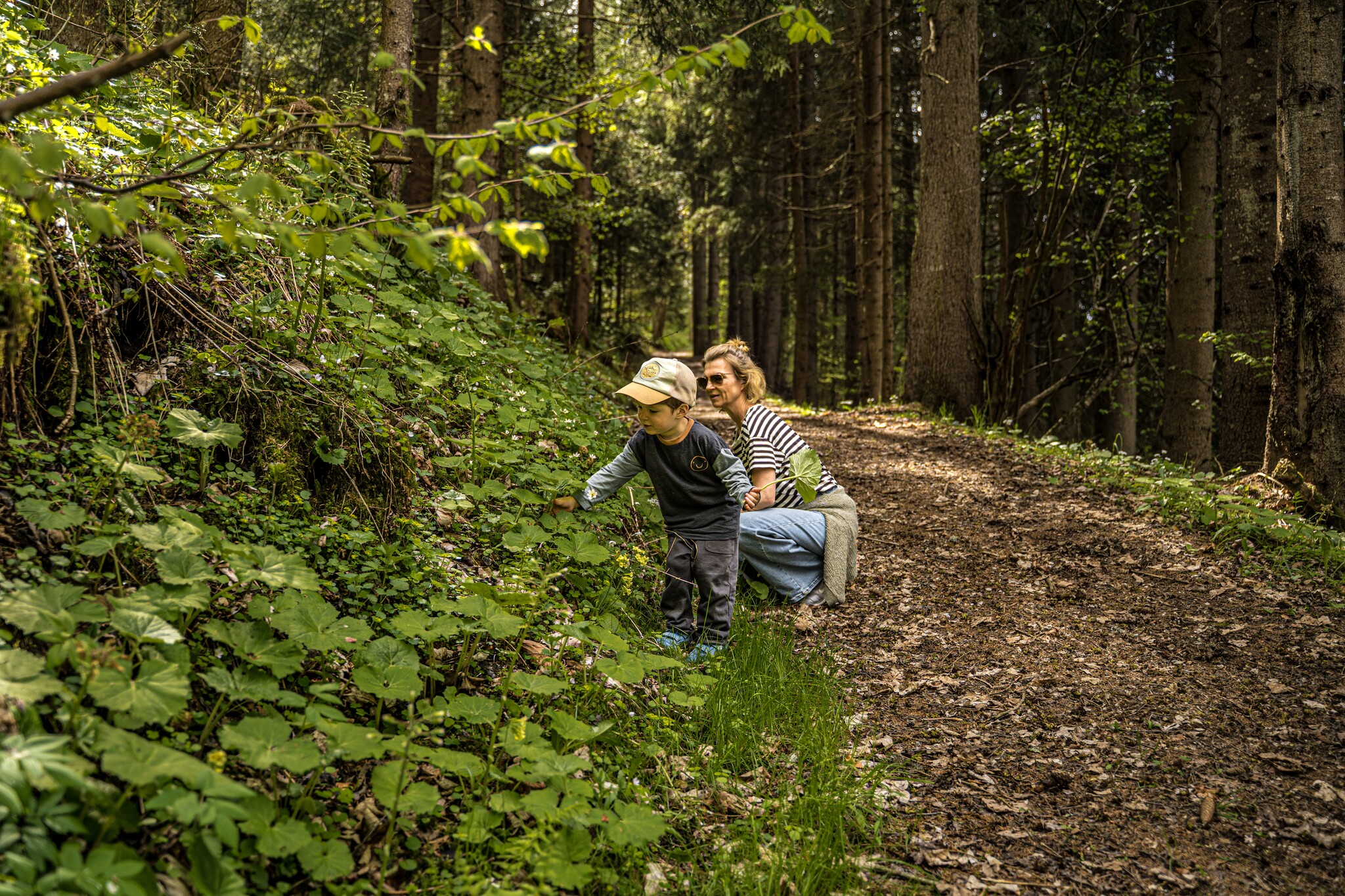
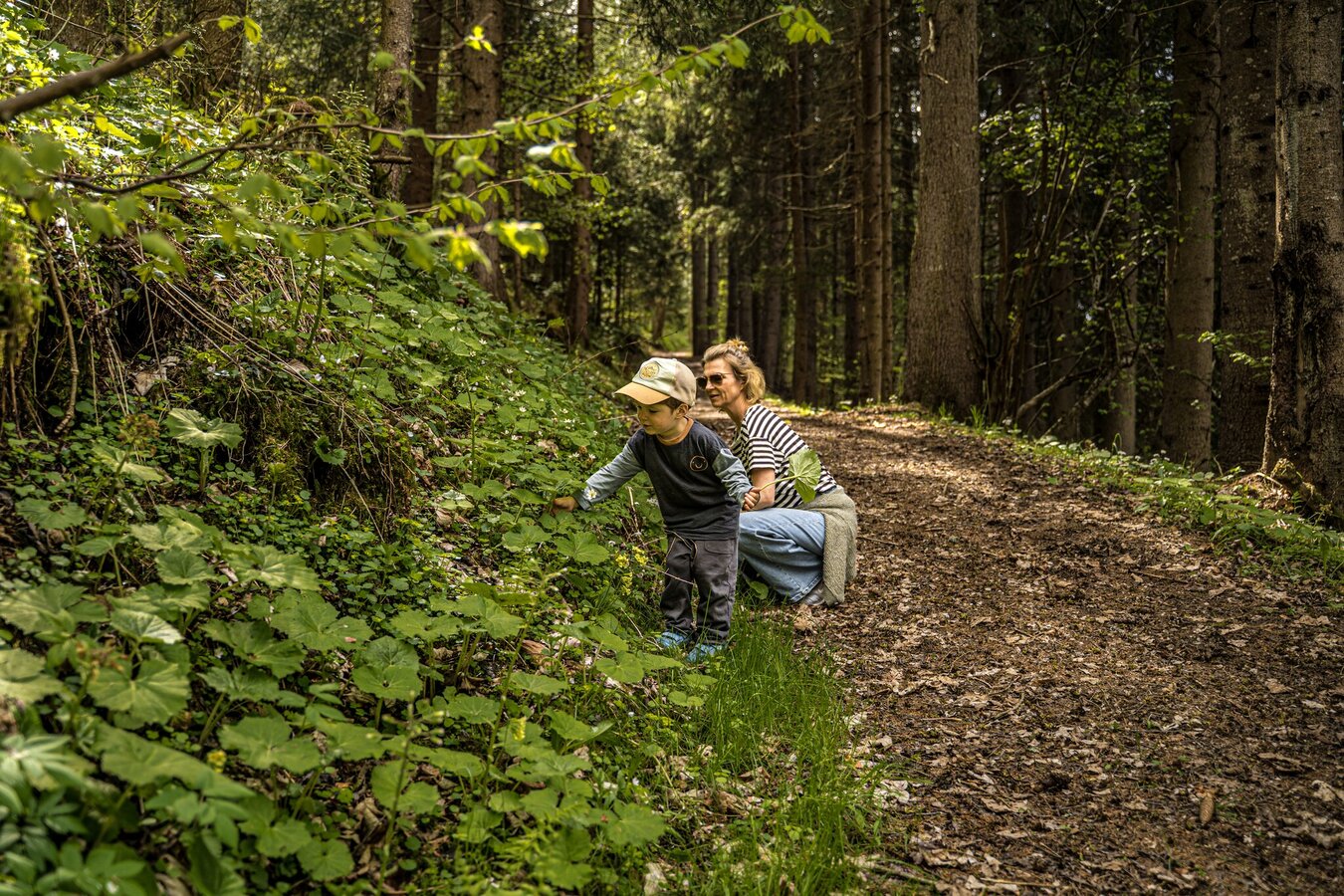
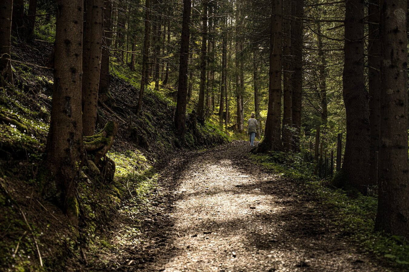
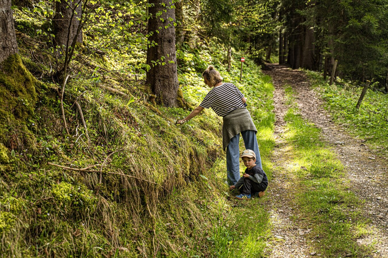
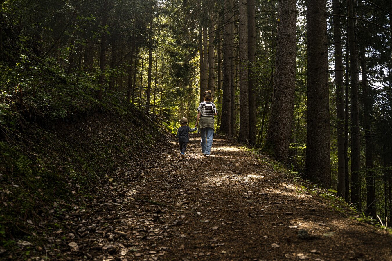
From the hiking trail head you walk pass through between hotel Stocker's Erlebniswelt and Sport Tritscher and - passing by restaurant Pariente - you follow Mosergasse road downhill. At Pension Wiesenegg you make a left and follow Wiesenweg road until you reach Schererhof farm. Pass by left of the stable and continue uphill through the forest to the trail junction at "Reiterkreuz". Make a left and follow Reiterkreuzweg road back to the starting point.
Parking is available at the hiking trail head in the village center of Rohrmoos.
- Buses of Planai-Hochwurzen-Bahnen: www.planaibus.at
Hiking or trekking shoes with grip sole, jacket.
The trail is suitable for prams, although there is a steep section between Schererhof farm and the waypoint Reiterkreuz.
Tourist information: www.schladming.com
Information about bus schedules: www.planaibus.at
- Hiking map ‘Hiking WEST’ available at the information offices in the region.
- Schladming hiking map, 1:25,000, available at the Schladming information office.
- Hiking map Schladming-Dachstein, 1:50,000, available at the information offices in the region.
- Hiking guide Schladming-Dachstein by Herbert Raffalt, available at the information offices in the region.