contact
contact
Schladming

The Small Evening Tour
Tour description

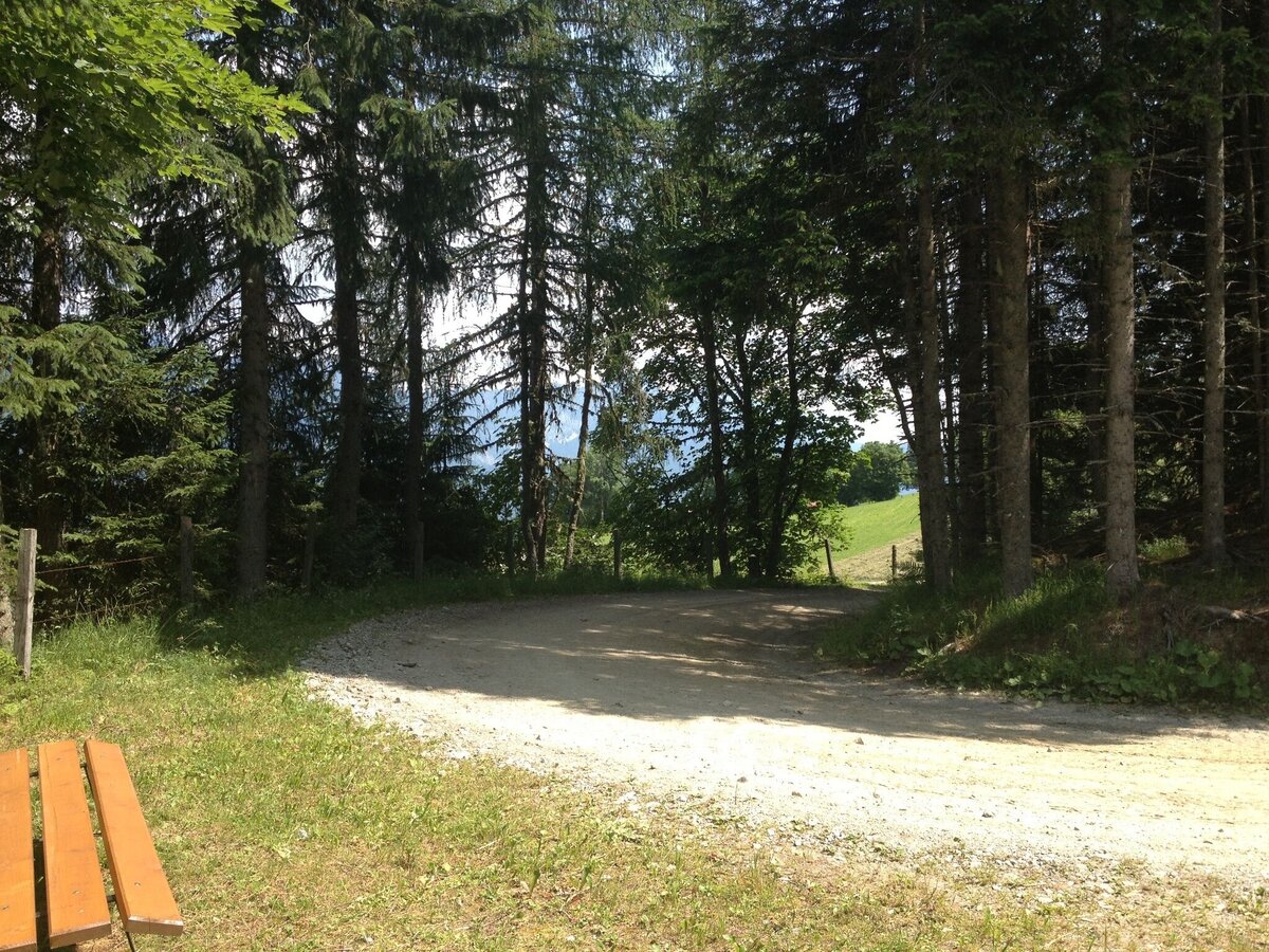
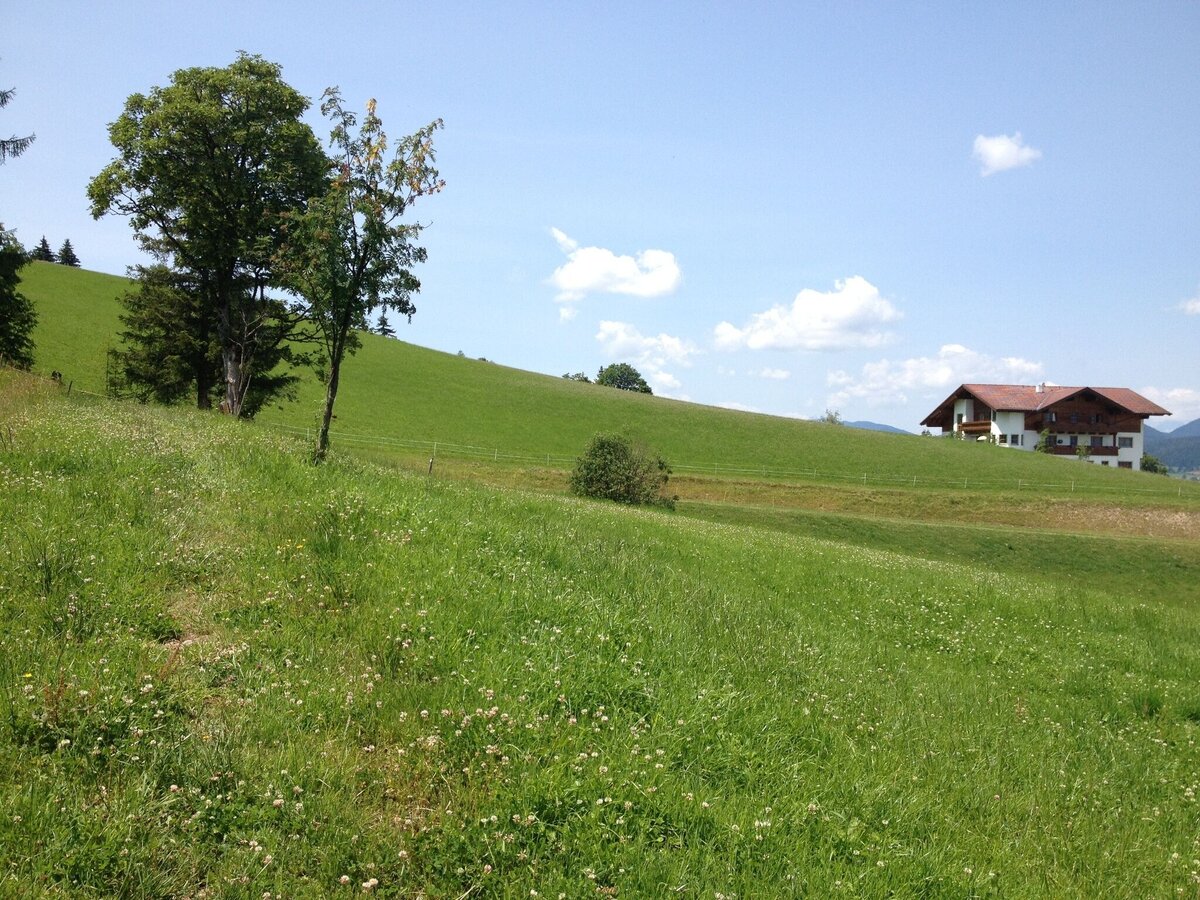
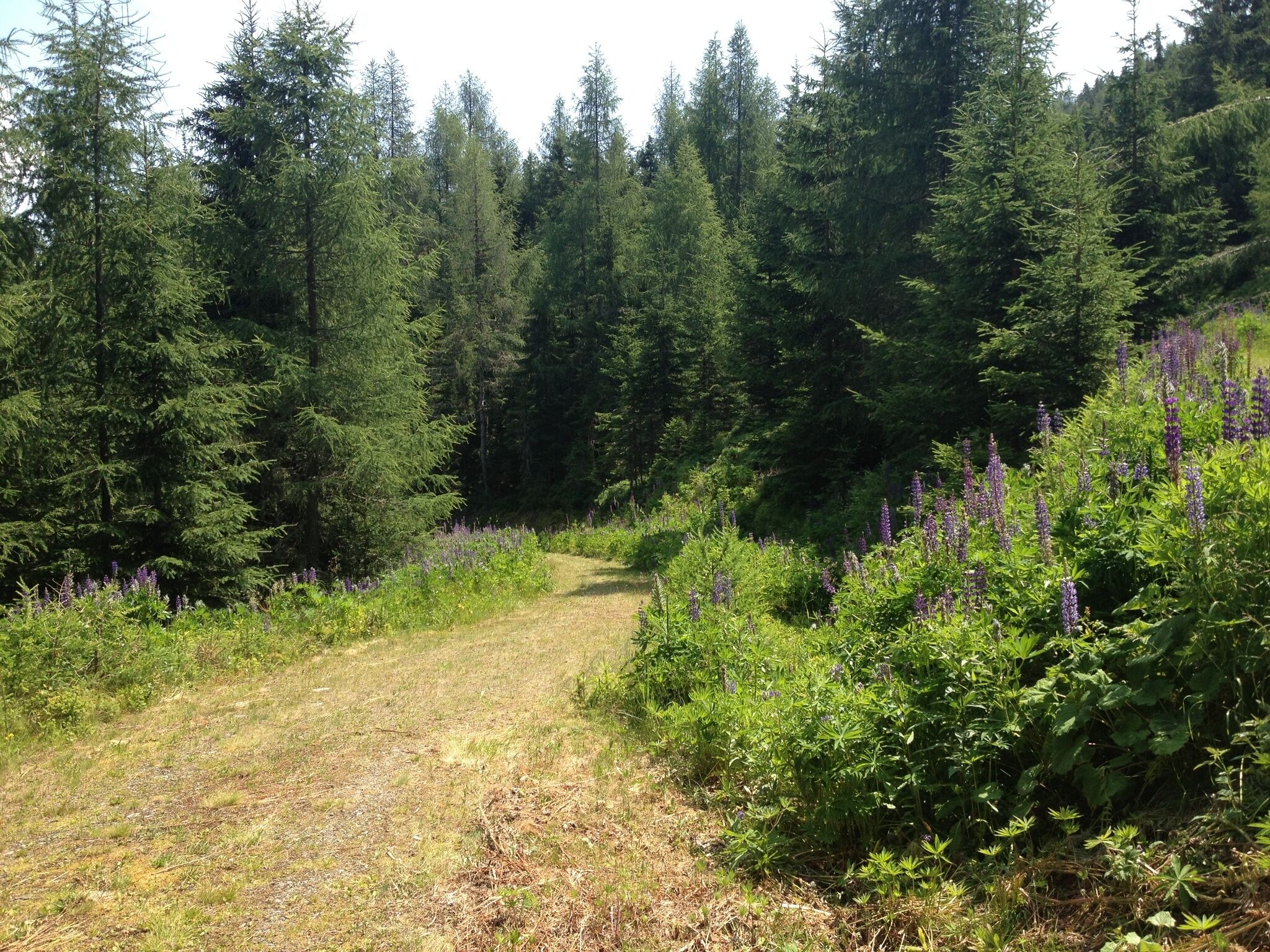
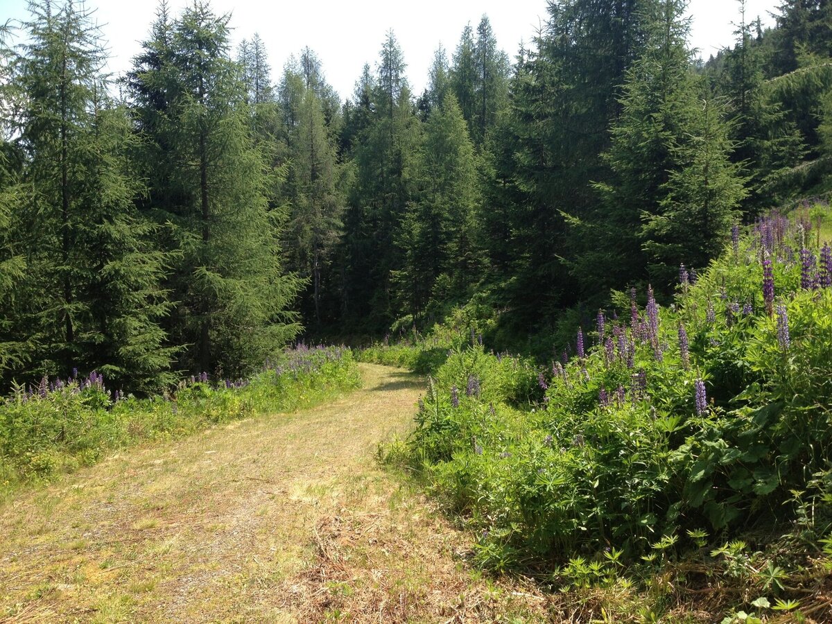
The short tour connects several farms and hotels in the area of Fastenberg on Planai. Walking along forest trails and along alpine meadows you enjoy the view to the plateau of Ramsau and into the Ennstal valley. An easy walk that is also a good choice for families.

The tour

easy
Starting and end point Car park Hotel Poserhof, Fastenberg
Tour characteristics
Distance: 4.68 km
Fitness (2/6)
Information
Distance: 4.7 km
Duration: 1:34 h
Ascent: 198 m
Descent: 198 m
highest point: 1272 m
Best season
Jan
Feb
Mar
Apr
May
Jun
Jul
Aug
Sep
Oct
Nov
Dec

Map, elevation profile & further information

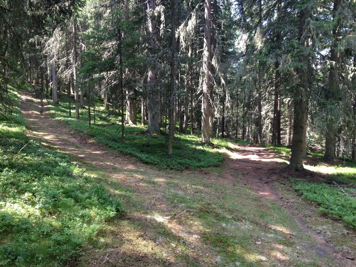
First you walk along the Brandweg road to house "Höflechner". There you make a reight and walk up to Wieslechnerhof farm. From there you follow the forest trail to the edge of the forest, where the road makes a sharp turn. Keep on walking for about 400 m and then turn off onto another forest raod that takes you to trail n° 100 at a trail junction in the forest. Now make a left at the trail junction and walk West to the starting point via the Asingerhof farm.
Exit from federal highway B320 east of Schladming onto Planaistraße road. Follow the road for about 4 kms up the mountain until you reach Hotel Poserhof.Exit from federal highway B320 east of Schladming onto Planaistraße road. Follow the road for about 4 kms up the mountain until you reach Hotel Poserhof.
Parking is available next to Hotel Poserhof.
There is no public transport to the starting point at Poserhof.

Changes in weather patterns, quick falls in temperature, thunderstorms, wind, fog and snow are some of the dangers that can be encountered on a hiking tour. Hosts of alpine huts and mountain refuges have a lot of experience in the mountains and can give good advice about weather and the trails. Poor equipment, overestimation of one's own capabilities, carelessness, poor personal constitution and/or wrong judgement  can lead to critical situations. In case of thunderstorms: avoid summits, ridges and steel ropes.

GPS data and orienteering

Available GPS data - just like hiking maps - is only a guidance for orientation and can never depict a trail exactly with all its details. Especially at dangerous spots it is essential to judge on site how to proceed.

In an emergency please call:

  • 140 - for Alpine emergencies (all over Austria)
  • 112 - European GSM emergency number
Hiking or trekking shoes with grip sole, jacket.

Tourist information: www.schladming.com

Information about bus schedules and cable-car operating times: www.planai.at

  • Hiking map ‘Hiking WEST’ available at the information offices in the region.
  • Schladming hiking map, 1:25,000, available at the Schladming information office.
  • Hiking map Schladming-Dachstein, 1:50,000, available at the information offices in the region.
  • Hiking guide Schladming-Dachstein by Herbert Raffalt, available at the information offices in the region.

Wheather predicition

today
22.09.2026
Mountain 6 °C
Valley 16 °C
Precipitation
Probability
60 %
Amount
0.5 l/m²
Wind speed
Nordwest
15 km / h
Sun
Sun hours
1.4 h
Sunrise
06:52 o clock
Sunset
19:03 o clock

Fair at daybreak, then mostly cloudy and rain mixed with snow around noon.

tomorrow
23.09.2026
Mountain 10 °C
Valley 18 °C
Precipitation
Probability
0 %
Amount
0 l/m²
Wind speed
Nordwest
10 km / h
Sun
Sun hours
11.6 h
Sunrise
06:53 o clock
Sunset
19:01 o clock

Some clouds in the morning, lateron much sunshine and hardly any clouds

day after tomorrow
24.09.2026
Mountain 11 °C
Valley 16 °C
Precipitation
Probability
65 %
Amount
6.8 l/m²
Wind speed
Nordwest
15 km / h
Sun
Sun hours
5.5 h
Sunrise
06:54 o clock
Sunset
18:59 o clock

Mostly sunny in the morning, later clouds will gather, and finally rain will start towards evening.

Tours nearby