contact
contact
Ramsau am Dachstein

Via Ferrata Eselstein
Tour description

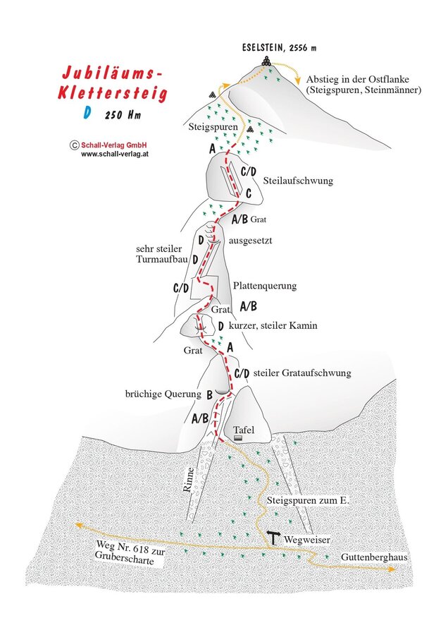
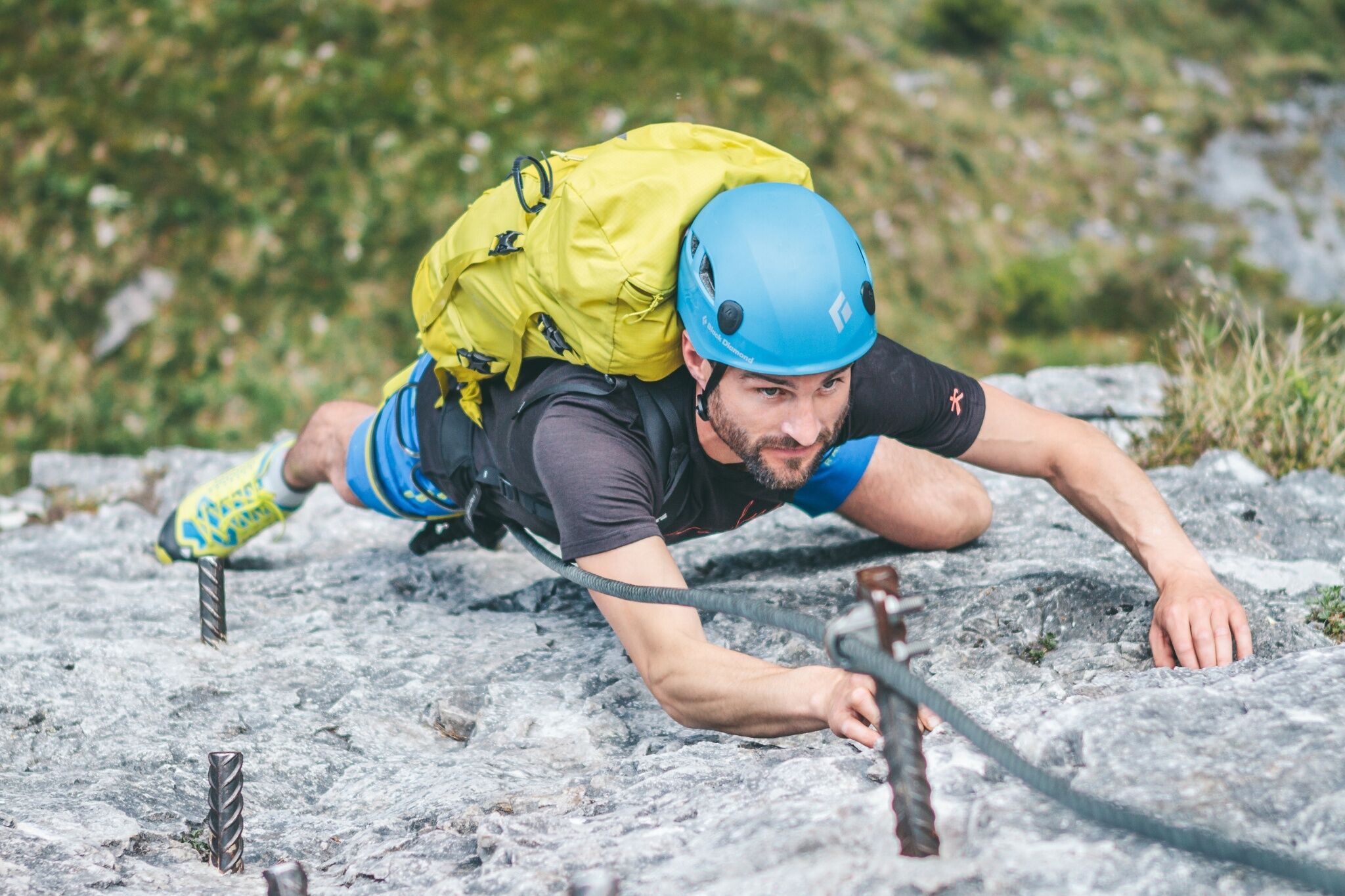
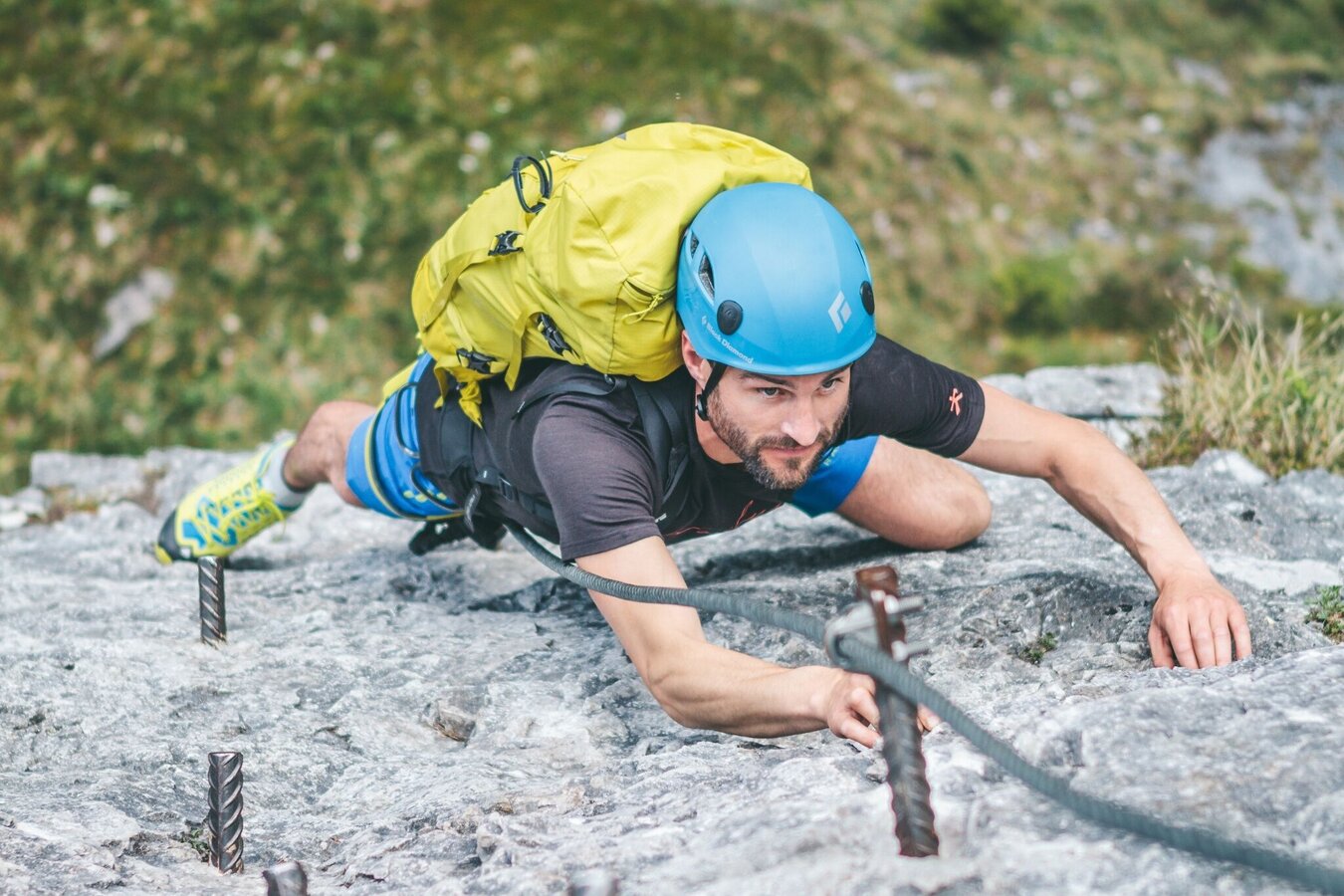
The Jubiläum via ferrata was build in 1991 and its varied passages lead along: the ridge, very exposed spots, and easier terrain in between.  Many mountaineers faced their limit on its steep cliff passage.

Comments:

A very well-designed via ferrata meeting every expectation, though not suited for inexperienced climbers or childer. Very strenous and exposed at some parts.

Times:

  • Via Ferrata - 1:30 h
  • Time to Base - 3:30 h
  • Time from Top - 3:00 h
  • Total - 7:30 h

The tour

D
Tour characteristics
Exposition:
Distance: 450 m Climbing time: 1 h 30 min
Information
Elevation at the starting point: 1130 m
Hiking time to the starting point: 3 h 15 min
Elevation at the entrance: 2300 m
Elevation gain on the via ferrata: 280 m
Elevation at the exit: 2550 m
Walking time (descent): 3 h 15 min
highest point: 2556 m
Best season
Jan
Feb
Mar
Apr
May
Jun
Jul
Aug
Sep
Oct
Nov
Dec

Map, elevation profile & further information

The approach is from the Guttenberghaus towards the Gruberscharte col. About halfway up, the approach to the Jubilee Via Ferrata branches off. The approach is gravelly and steep, but not too long. The approach to the Guttenberghaus from the Feisterer parking lot leads along a well-marked hiking trail, steep in the middle section, to the Guttenberghaus (1,000 meters elevation gain) in about 2.5 hours.
Follow the trailhead on the north flank of the Eselstein to the marked hiking trail and then via the Feistererscharte col back to the Guttenberghaus (approx. 40 minutes). Alternatively, descend via the Eselstein West Face Via Ferrata (B) and the Gruberscharte col to the Guttenberghaus. From there, follow the hiking trail back to the valley.

Arriving from the west: From the west you can take the Munich-Salzburg motorway, continuing on the Tauern motorway (A 10) until the Ennstal junction. From here take the Ennstal A-road (the B 320) for around 30 km into the Schladming-Dachstein region, then take the Ramsau am Dachstein turn-off. Continue to the Ramsau plateau and about 1 km after Ramsau Kulm turn right to Rössing street (Rössingstraße) and continue junction (Abzweigung) Feistererhof.

Arriving from the north and east: From the south-east take the Pyhrnautobahn motorway (A 9) to the Liezen junction and then the Ennstal A-road (B 320) into the Schladming-Dachstein region. Then take the Ramsau am Dachstein turn-off. Continue to the Ramsau plateau and about 1 km after Ramsau Kulm turn right to Rössing street (Rössingstraße) and continue junction (Abzweigung) Feistererhof.

Parking lot at Hotel Feistererhof

The starting point can be reached by bus line 962 of the Ramsau public transport company - stop "Berghof/Abzweigung Feisterer" - about a 10-minute walk to the Feisterer hiking trailhead.
From the Stierer stop on line 960 of the Ramsau public transport company, the Feisterer hiking portal can be reached in about 20 minutes.

Schedule of the Ramsauer Verkehrsbetriebe

Bus schedules

Wheather predicition

today
22.07.2026
Mountain 3 °C
Valley 18 °C
Precipitation
Probability
50 %
Amount
0.6 l/m²
Wind speed
Nordwest
10 km / h
Sun
Sun hours
5.9 h
Sunrise
05:32 o clock
Sunset
20:52 o clock

Morning snow showers, then fairly sunny during the day.

tomorrow
23.07.2026
Mountain 3 °C
Valley 17 °C
Precipitation
Probability
60 %
Amount
2.8 l/m²
Wind speed
Nordwest
15 km / h
Sun
Sun hours
7.5 h
Sunrise
05:33 o clock
Sunset
20:51 o clock

A fair start, soon followed by thunderstorms. Snow showers will remain in the afternoon

day after tomorrow
24.07.2026
Mountain 4 °C
Valley 19 °C
Precipitation
Probability
10 %
Amount
0 l/m²
Wind speed
Nordwest
15 km / h
Sun
Sun hours
12.5 h
Sunrise
05:34 o clock
Sunset
20:50 o clock

Early clouds will clear to leave the region with a dry and sunny day.

Tours nearby